Observations
-
9 October 2019
Blair boat launch by Alex Gazaleh
-
-
-
9 October 2019
Blair boat launch by Alex Gazaleh
Water has receded since last observation. I’d say by 2’ along the shore
-
8 October 2019
Port Union Waterfront Park by Laura Blease
-
8 October 2019
Port Union Waterfront Park, Scarborough by Laura Blease
-
8 October 2019
Boat dock by Katie Bristow
-
8 October 2019
Nottawasaga Bay by Shannon Weir
-
8 October 2019
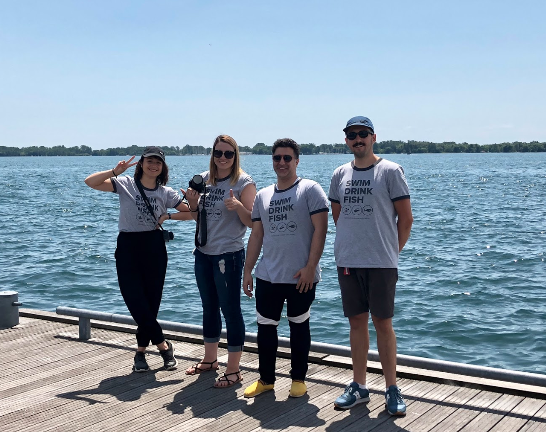
Marina 4 by Swim Drink Fish Canada
-
7 October 2019
Cornwall by Water Rangers
-
7 October 2019
Inlet between River Institute and L’Heritage High School by Water Rangers
-
7 October 2019
North of River Road Castleford Bridge by Tyler Anderson
Clear, slight yellowish colour, some visible algae and fine sediment on substrate. Slow flow. Some road construction on River Road and machines parked at boat launch. Appear to be clean and well cared for and parked away from river.
-
7 October 2019
Ottawa River Tributary Horton TWP by Tyler Anderson
Clear colourless water with riffles and runs and sandy substrate. Occupies most of wetted area. Minor organic debris floating downstream.
-
7 October 2019
Off Wabigoon Lake, Dryden by LYNN MCCORMACK
-
7 October 2019
Dryden ON by LYNN MCCORMACK
-
-
7 October 2019
1158 Little Creek Road by Malcolm Peakman
Rain in pasr 24 hours Beaver activity Deer slots on banks
-
7 October 2019
Niagara Falls, Ontario by Katie Bristow
-
-
6 October 2019
Wahnekwaning Beach by Shannon Weir
First time testing so I’ve attached the picture of the strip.