Location
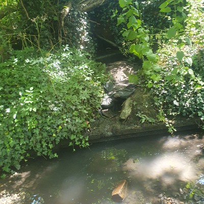
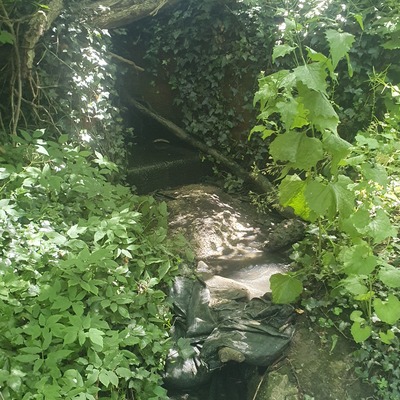
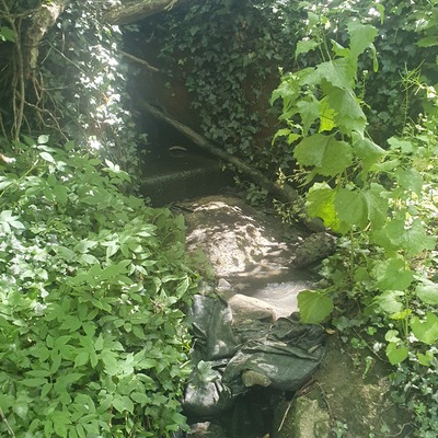
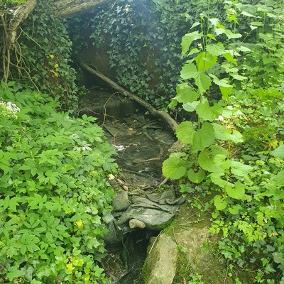
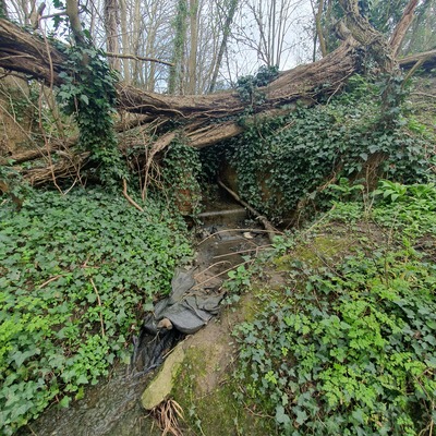
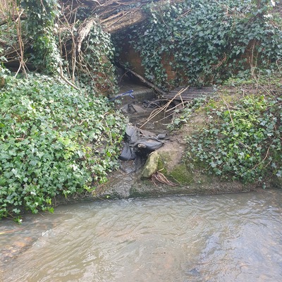
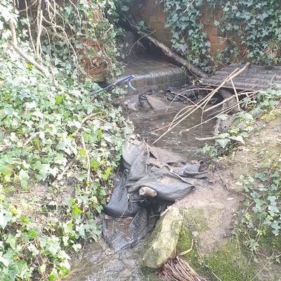
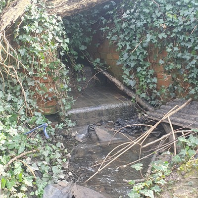
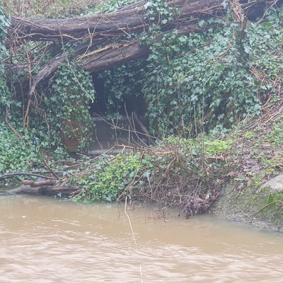
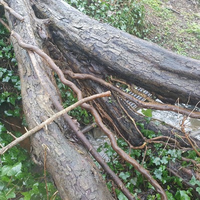
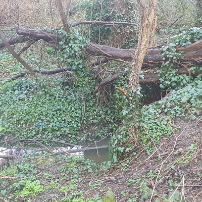
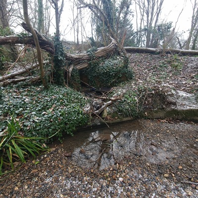
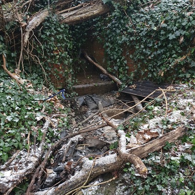
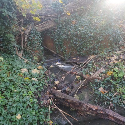
Outfall at RMI Site
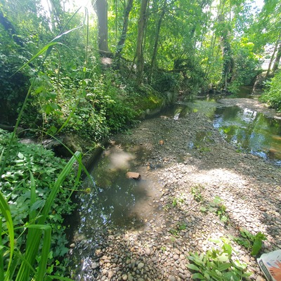
Dollis Brook
Dollis Brook in England
Dataset summary
Outfall at RMI Site has data for current_weather, ammonia, conductivity, turbidity, water_temperature, phosphates, air_temperature, water_flow, pollution_sources, odour, algae, colour, water_use, clarity, previous_weather_description, previous_weather, current_weather_description, water_level, and on_the_water_s_surface from 15 June 2025 to 9 June 2026.


About this location
- Water body type River or stream
- Dataset Brent Catchment Water Quality Working Group, Thames21
- Monitoring purpose Investigative
- Data collector Judith Howlett
- Land use Urban residential, Urban park
- Bank vegetation Trees and shrubs
- Location description Outfall at RMI site. Chronic issues with this outfall and long term misconnections, sewage fungus, smell etc. Unhealthy! Under TW SWOT in summer of 2025 and problems addressed in Holden Road after which Ammonia and Phosphate levels improved
Data sharing
-
All datasets are open by default.
Download location data
This data is part of a bigger dataset, Brent Catchment Water Quality Working Group.