
Location
Middle River
Middle River
Middle River in Nova Scotia
Dataset summary
Middle River has data for current_weather_description, previous_weather, current_weather, previous_weather_description, air_temperature, water_temperature, conductivity, chlorine, ph, hardness, and alkalinity from 15 May 2025 to 19 July 2026.
About this location
- Water body type River or stream
- Dataset BLBRA Citizen Science Around The Lake, Bras d'Or Lake Biosphere Region Association
- Data collector Sharon Morrow
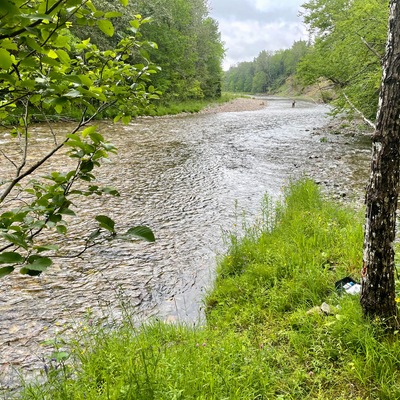
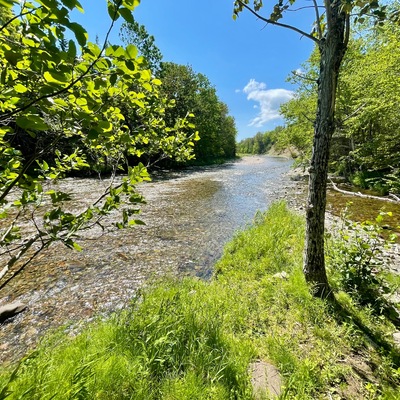
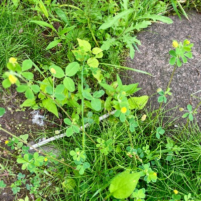
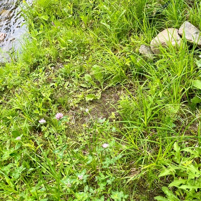
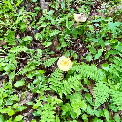
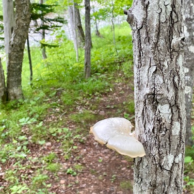
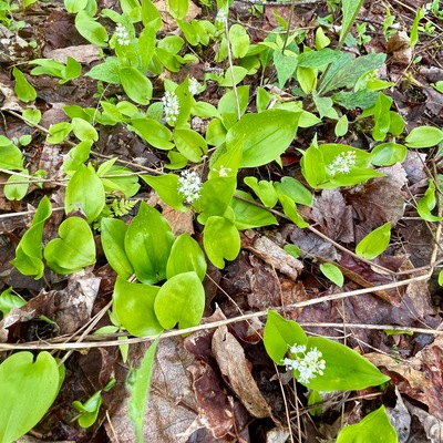
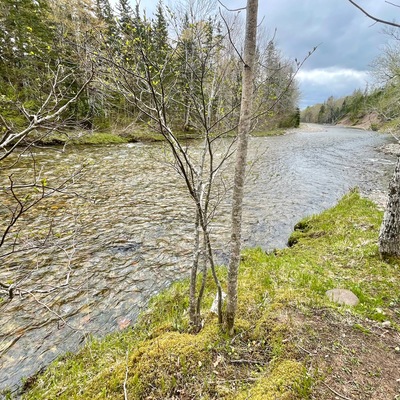
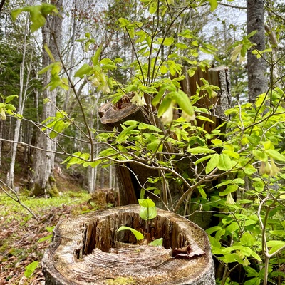
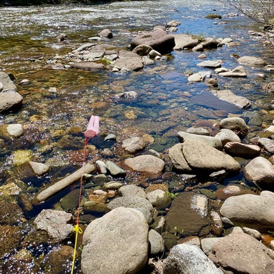
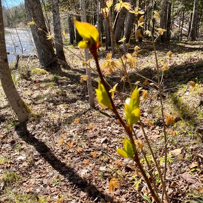
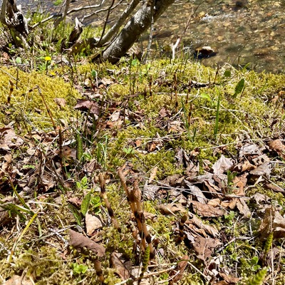
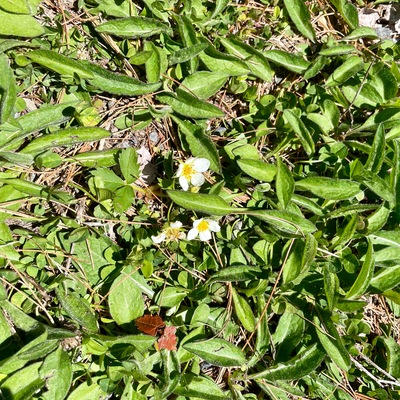
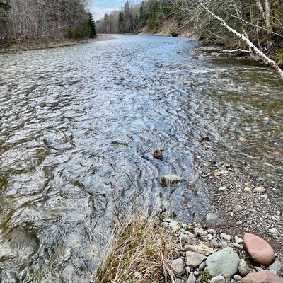
- Location description This location is on a point of land where Middle River meets MacRae Brook. Middle River water data is being recorded at a test site slightly upstream from where the brook flows into the river. There is always a current present so the water is always moving even when the water level drops in the warm season. Access to the water testing spot is safe most of the year though the tip of the point of land can be covered when there is a significant rainfall. The water flow/depth is also affected by snow melt from the Cape Breton Highlands.
Data sharing
-
All datasets are open by default.
Download location data
This data is part of a bigger dataset, BLBRA Citizen Science Around The Lake.