Recent photos
-
17 May 2026 -
17 May 2026 -
26 April 2026 -

26 April 2026 -

29 March 2026 -

29 March 2026 -

18 January 2026 -

28 December 2025 -
28 December 2025 -

21 December 2025 -

7 December 2025 -
30 November 2025 -
30 November 2025 -
16 November 2025 -

16 November 2025 -
9 November 2025 -
9 November 2025 -
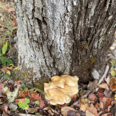
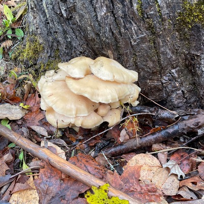
3 November 2025 -
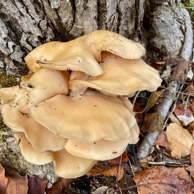
3 November 2025 -
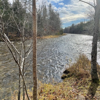
3 November 2025