
Location
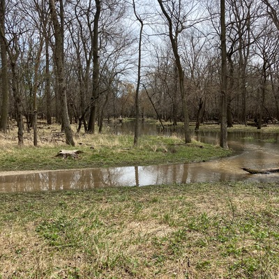
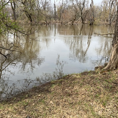
Evans Field - Des Plaines River -Trail Marker 215
Des Plaines River
Des Plaines River in Illinois
Dataset summary
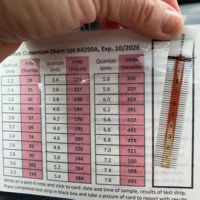
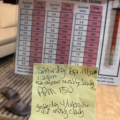
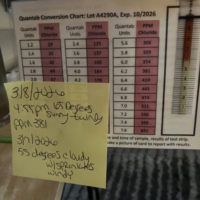
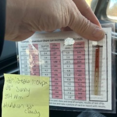
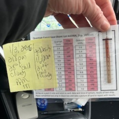
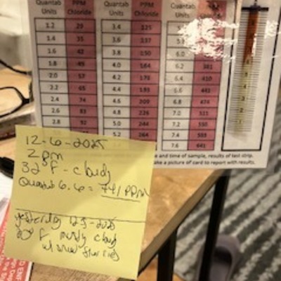
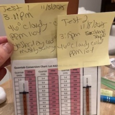
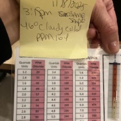
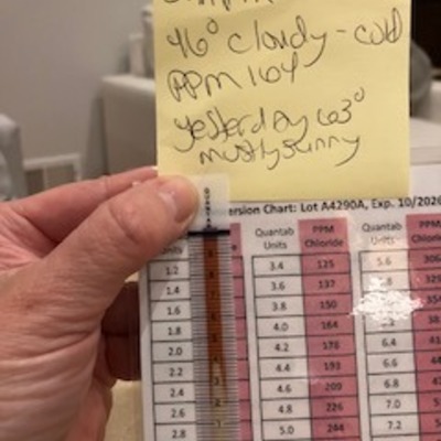
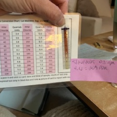
Evans Field - Des Plaines River -Trail Marker 215 has data for current_weather, chloride, water_level, Ice on, on_the_water_s_surface, odour, algae, clarity, previous_weather_description, previous_weather, current_weather_description, colour, pollution_sources, water_use, and air_temperature from 29 November 2024 to 9 May 2026.

.jpeg)
About this location
- Water body type River or stream
- Dataset Winter Chloride Watch, National Great Rivers
- Data collector Serena Pesch
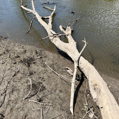
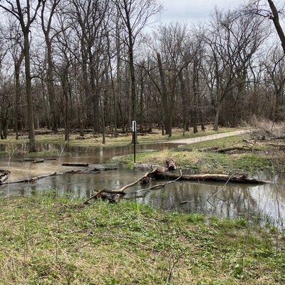
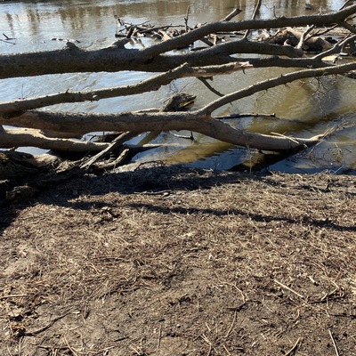
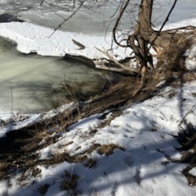
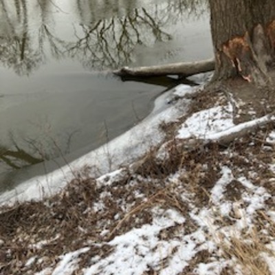
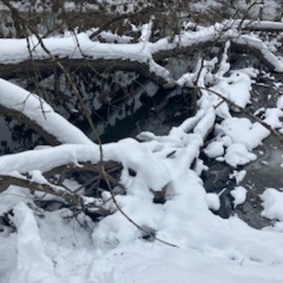
- Location description Location is between 1/4 -1/3 rd of a mile off of the parking lot (Evans Field Grove 1) located at Thatcher and Bloomingdale, walking west on the trail (south end). Testing will be conducted on the Des Plaines River between mile marker 215 - Sunset Bridge. Depending on accessibility and whether i.e. snow/ice. Water seems pretty still in this area, no known danger is evident.
Data sharing
-
All datasets are open by default.
Download location data
This data is part of a bigger dataset, Winter Chloride Watch.