Location
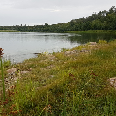
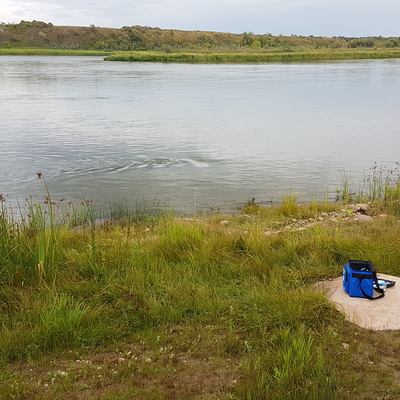
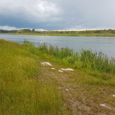
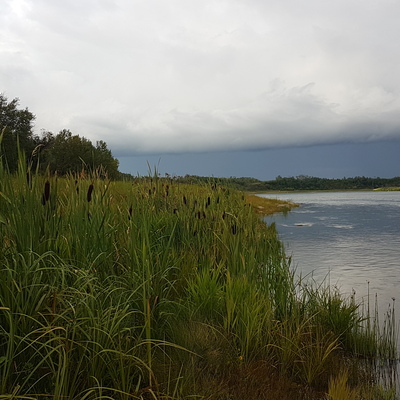
West shoreline
South Saskatchewan River
South Saskatchewan River in Saskatchewan
Dataset summary
West shoreline has data for ph, oxygen, secchi_depth, hardness, alkalinity, water_depth, conductivity, air_temperature, water_temperature, current_weather, current_weather_description, previous_weather, and previous_weather_description from 14 July 2019 to 27 August 2019.
- Water body type River or stream
- Dataset Citizen Science, University of Regina
- Data collector Michael Molaro
- Location description
- Wide and rather shallow (very low this year) river location with sandy banks, large river rocks and well vegetated shores. Clear water and many km from any settlement - other than the national historic park Batoche site just upstream and across the river. Saskatoon to this location via canoe is a two day trip. Quiet, scenic, river clams, frogs, black bears, bald eagles, franklin gulls and a few American white pelicans. Accessible via an old cattle trail (ugh hopefully not many of them on the river anymore).