
Location
Broomfield Upper Lake NW Inlet
Broomfield Upper Lake
Broomfield Upper Lake in England
Dataset summary
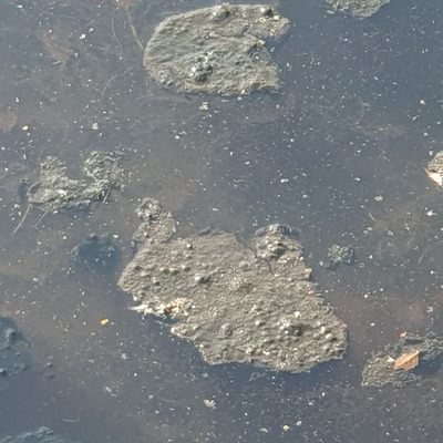
Broomfield Upper Lake NW Inlet has data for previous_weather, clarity, water_use, colour, algae, odour, pollution_sources, on_the_water_s_surface, water_flow, water_level, oxygen, ammonia, phosphates, air_temperature, conductivity, water_temperature, total_dissolved_solids_tds, current_weather_description, previous_weather_description, current_weather, turbidity, and secchi_depth from 11 June 2025 to 3 April 2026.

About this location
- Water body type Lake
- Dataset Lea Guardians, Thames21
- Data collector Jenny Edwards
- Land use Urban park
- Bank vegetation Trees and shrubs
- Location description The main inlet for Thames Water surface water drain from uphill North of Broomfield Park. Water flowing into lake from the inlet pipe.
Data sharing
-
All datasets are open by default.
Download location data
This data is part of a bigger dataset, Lea Guardians.