
Location
Walkern Greenway
River Beane
River Beane in England
Dataset summary
Walkern Greenway has data for current_weather, rain_previous_24hrs, colour, clarity, shore_vegetation, aquatic_vegetation, invasive_plants_uk, wildlife_uk, outfall_observations, pollution_evidence, turbidity, water_level, water_flow, obstacles, channel_bed_materials, estimated_width, average_depth, water_temperature, conductivity, phosphates, nitrate_nitrogen, and nitrite_nitrogen from 31 July 2026 to 20 September 2026.
About this location
- Water body type River or stream
- Dataset HMWT - River Guardians, Herts & Middlesex Wildlife Trust
- Data collector Pete Ryan, Simon Browning
- Land use Urban residential, Agriculture, Grassland shrub
- Bank vegetation Trees and shrubs, Grass
Data sharing
-
All datasets are open by default.
Download location data
This data is part of a bigger dataset, HMWT - River Guardians.
Photos at this location
-
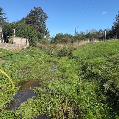
20 September 2026 -
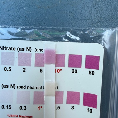
31 July 2026 -
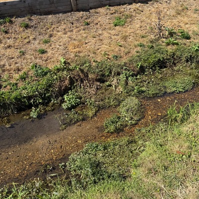
31 July 2026 -
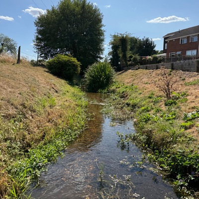
31 July 2026 -
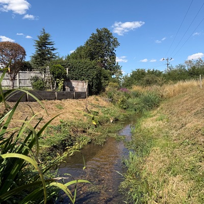
31 July 2026 -
31 July 2026 -
31 July 2026 -
31 July 2026 -
31 July 2026