Location
Wagg Creek, St Mary' branch
WAG-M-07
WAG-M-07 in British Columbia
Dataset summary
Wagg Creek, St Mary' branch has data for ph, chlorine, hardness, alkalinity, conductivity, turbidity, air_temperature, water_temperature, current_weather, previous_weather, and previous_weather_description from 20 July 2025 to 20 July 2025.
- Water body type River or stream
- Dataset Wagg Creek Water Quality Monitoring Group, North Shore Streamkeepers Society
- Data collector Paul Lhotka
Data sharing
-
All datasets are open by default.
Download location data
This data is part of a bigger dataset, Wagg Creek Water Quality Monitoring Group.
- Location description
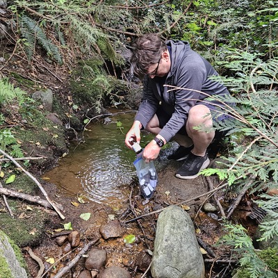
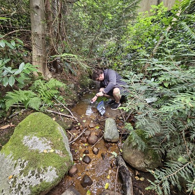
- from East Braemar between 277 and 299 an easement lies on the south side of Braemar. There is a steep public path that leads down to where a creek of <1m wide is crossed by a wooden boardwalk. The site is 2m above the boardwalk. Frequently the site has reddish rocks and sediment from iron precipitating out. This site is the highest easily accessible part of Wagg Creek and such is valuable as a comparison as it is least impacted by urban development. It was used by Tim Rodgers and now ALS Global. NSSK has not monitored it regularly. My photo geotags as UTM 495195E 5465621N; N49.34329° W123.06616°. Based on DNV mapping it is more like UTM 495199E 5465613N; N49.34322° W123.06609°. Tree canopy is the problem. Site is very easy to recognize.