Location
WAG-W-02a
Storm water pipe discharge south of 20th St and east of Mahon - WAG-W-02a Medium Priority
Storm water pipe discharge south of 20th St and east of Mahon - WAG-W-02a Medium Priority in British Columbia
Dataset summary
WAG-W-02a has data for ph, chlorine, hardness, alkalinity, conductivity, turbidity, air_temperature, water_temperature, current_weather, previous_weather, and oxygen from 22 July 2024 to 15 January 2025.
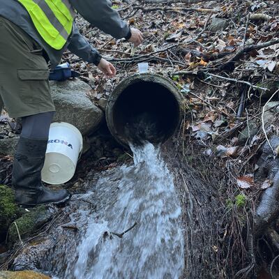
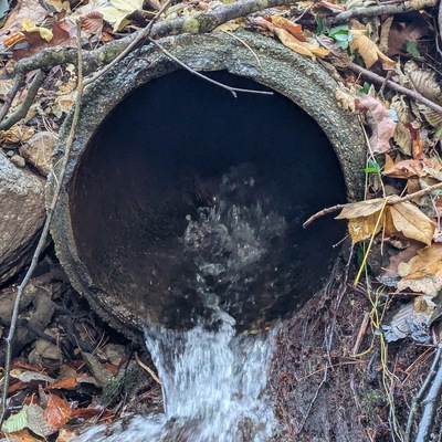
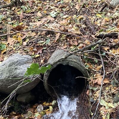
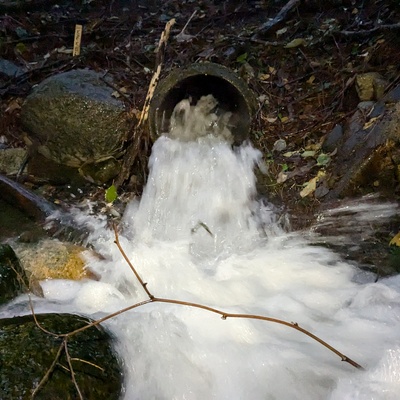
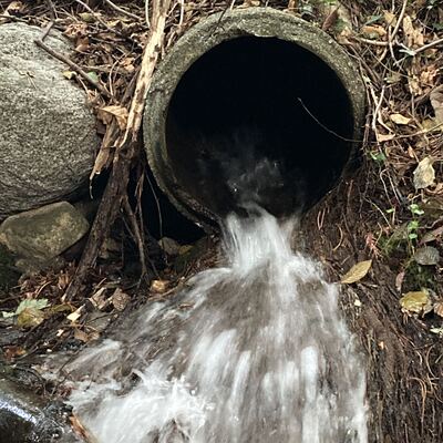
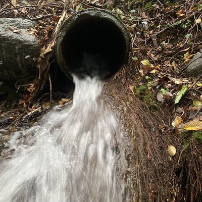
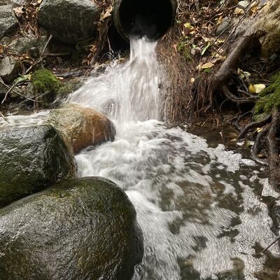
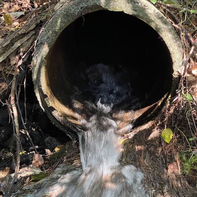

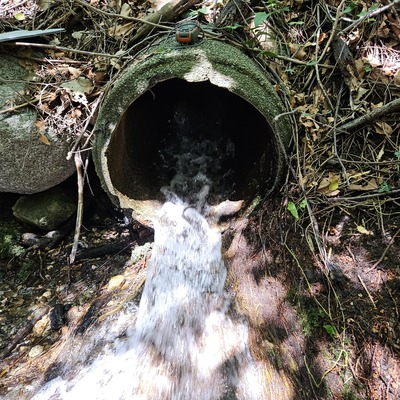
- Water body type Storm sewer
- Dataset Wagg Creek Water Quality Monitoring Group, North Shore Streamkeepers Society
- Data collector Paul Lhotka
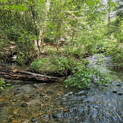
- Location description
- location of WAG-W-02a using zoom on web app. A concrete storm pipe of 0.46m inside diameter comes in from the west side almost at the same elevation as the creek. Storm water from it joins the creek with 10m of leaving the pipe. Field measured GPS coordinates in NAD83 are -123.0781779, 49.32722199 in Long and Lat, or UTM 494,319E, 5,463,836N