
Location
WAG-M-02
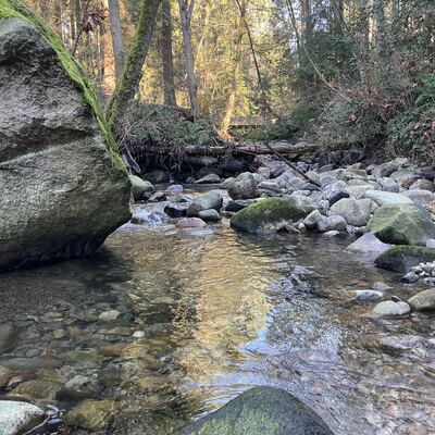
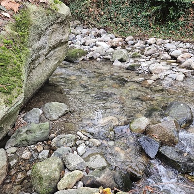
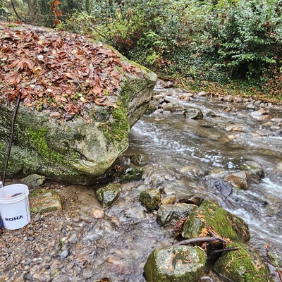
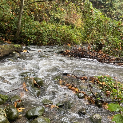
WAG-M-02 Wagg Creek above confluence with Mission Creek. Medium Priority
WAG-M-02 Wagg Creek above confluence with Mission Creek. Medium Priority in British Columbia
Dataset summary
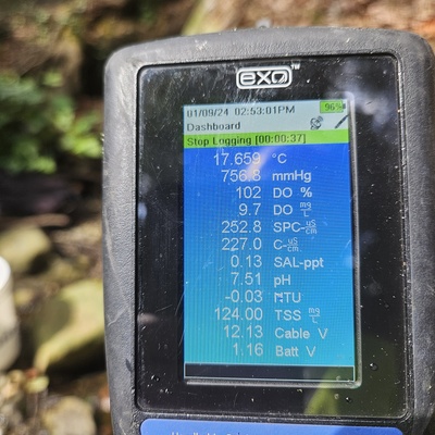
WAG-M-02 has data for ph, conductivity, alkalinity, air_temperature, hardness, chlorine, water_temperature, current_weather, previous_weather, turbidity, oxygen, current_weather_description, and previous_weather_description from 29 July 2024 to 20 July 2025.
About this location
- Water body type River or stream
- Dataset Wagg Creek Water Quality Monitoring Group, North Shore Streamkeepers Society
- Data collector Paul Lhotka
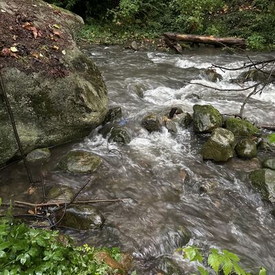
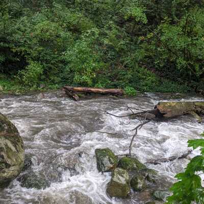
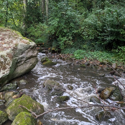
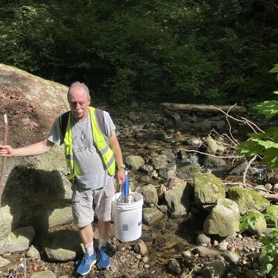
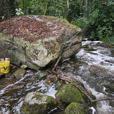
- Location description WAG-M-02 Wagg Creek - just above Mission junction. Most easily accessed from the footbridge over Mission Creek just above the confluence. Walk easterly from that bridge along the contours to Wagg. GPS field coordinates Long -123.087723 Lat 49.321832 or UTM E 493,625, N 5,463,237. Must sample well below WAG-E-03 so the waters are well mixed
Data sharing
-
All datasets are open by default.
Download location data
This data is part of a bigger dataset, Wagg Creek Water Quality Monitoring Group.