Location
WAG-E-07
Stormwater drain south of 23rd St and west of Chesterfield - WAG-E-07 High Priority
Stormwater drain south of 23rd St and west of Chesterfield - WAG-E-07 High Priority in British Columbia
Dataset summary
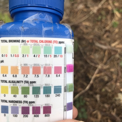
WAG-E-07 has data for ph, previous_weather, current_weather, water_temperature, air_temperature, turbidity, conductivity, alkalinity, hardness, chlorine, current_weather_description, oxygen, flow, previous_weather_description, Ice on, and water_depth from 29 April 2021 to 20 July 2025.
- Water body type Storm sewer
- Dataset Wagg Creek Water Quality Monitoring Group, North Shore Streamkeepers Society
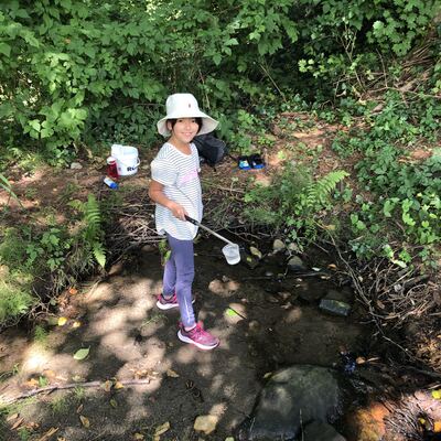
- Data collector Paul Lhotka
Data sharing
-
All datasets are open by default.
Download location data
This data is part of a bigger dataset, Wagg Creek Water Quality Monitoring Group.
- Location description
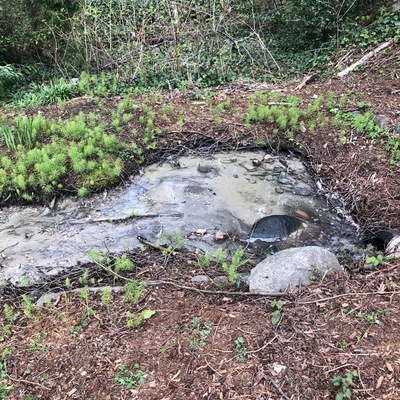
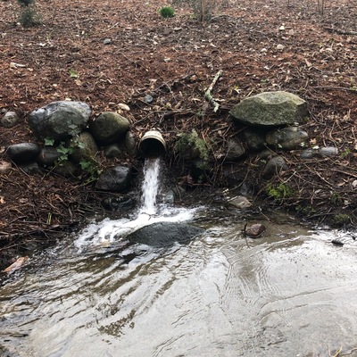
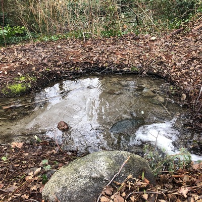
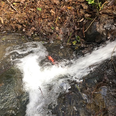
- location of WAG-E-07 using zoom on web app. West of Chesterfield and south of 23rd St. a storm drain emerges and then joins the west branch of Wagg Creek from the east. Here a white plastic storm pipe of 0.21m inside diameter comes in from the east about 15m east of the creek. Low energy location. Field measured GPS coordinates in NAD83 are -123.0757406, 49.32946420 in Long and Lat, or UTM 494,497E, 5,464,085N . MISMATCH with CNVGIS mapping which has a 915 CONC Storm pipe here.