Location
Upstream of Markfield Park (Stonebridge Brook) CSO
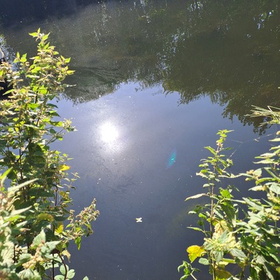
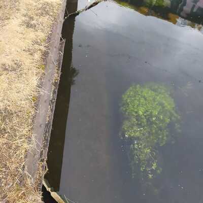
River Lea
River Lea in Waltham Forest
Dataset summary
Upstream of Markfield Park (Stonebridge Brook) CSO has data for water_level, ammonia, water_flow, on_the_water_s_surface, colour, water_use, clarity, previous_weather, current_weather, previous_weather_description, current_weather_description, phosphates, odour, and algae from 29 June 2024 to 24 April 2026.
- Water body type River or stream
- Dataset Lea Guardians, Thames21
- Data collector Philly Nicholls
Data sharing
-
All datasets are open by default.
Download location data
This data is part of a bigger dataset, Lea Guardians.
- Location description
- Samples are taken using a bucket and rope. This point is 20m upstream of the CSO.