
Location
Tributary 2 of Ancient Grove Creek, Cariboo Heights Forest, Burnaby, BC
Ancient Grove Creek, Brunette River Watershed
Ancient Grove Creek, Brunette River Watershed in British Columbia
Dataset summary
Tributary 2 of Ancient Grove Creek, Cariboo Heights Forest, Burnaby, BC has data for ph, chlorine, hardness, alkalinity, water_depth, conductivity, air_temperature, water_temperature, total_dissolved_solids_tds, current_weather, and previous_weather from 31 December 2023 to 21 February 2024.
About this location
- Water body type River or stream
- Dataset Road Salt and Salmon Project, Stoney Creek Environment Committee
- Data collector Utta Gagel
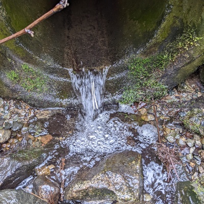
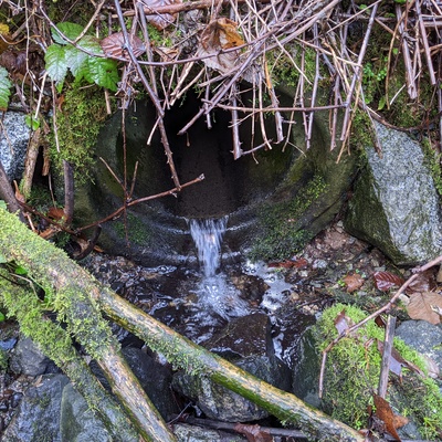
- Location description Tributary 2 is fed by a stormdrain from the Mona Drive area of Cariboo Heights.
Data sharing
-
All datasets are open by default.
Download location data
This data is part of a bigger dataset, Road Salt and Salmon Project.