Location
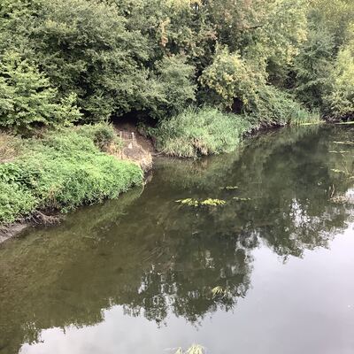
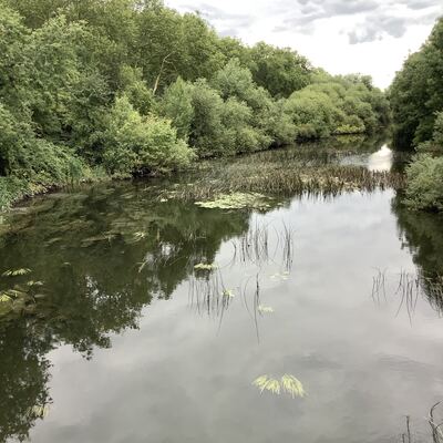
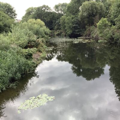
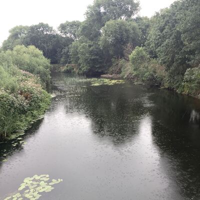
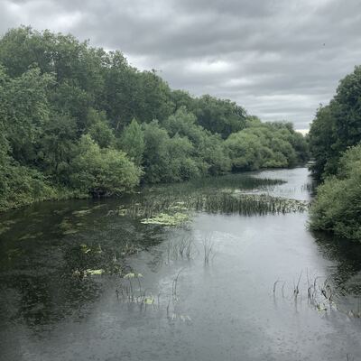
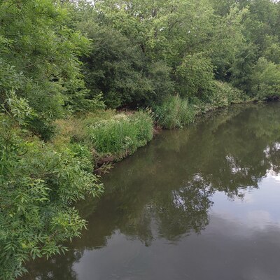
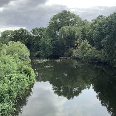
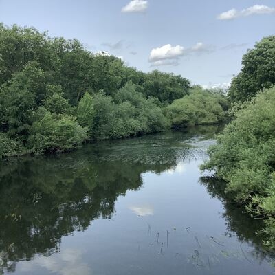
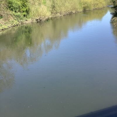
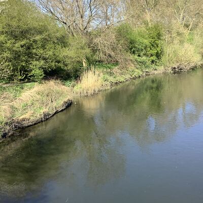
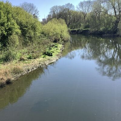
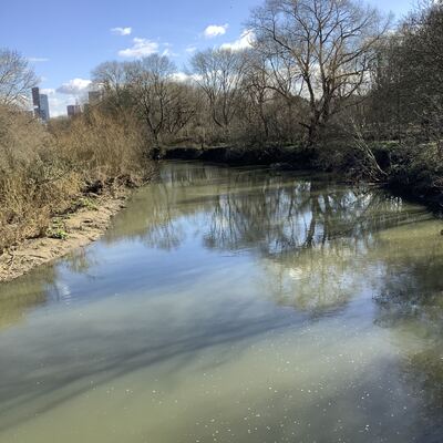
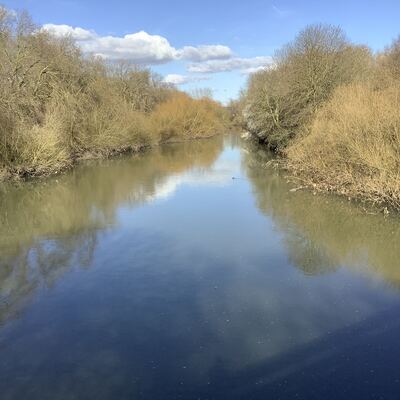
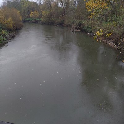
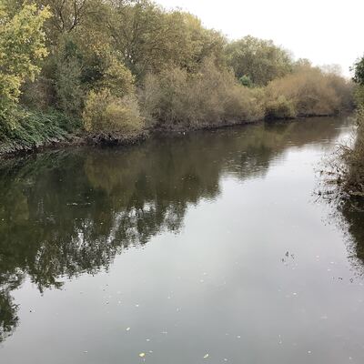
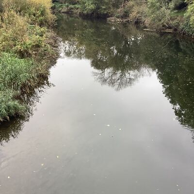
The White House Bridge (Old River Lea)
River Lea
River Lea in Hackney
Dataset summary
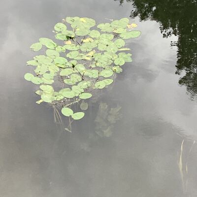
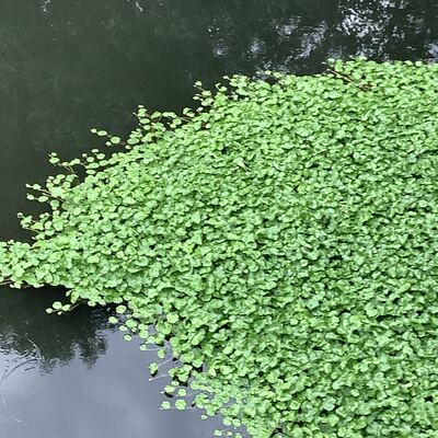
The White House Bridge (Old River Lea) has data for pollution_sources, algae, water_use, colour, on_the_water_s_surface, turbidity, water_flow, previous_weather, current_weather, phosphates, water_temperature, ammonia, water_level, clarity, odour, conductivity, previous_weather_description, current_weather_description, and air_temperature from 14 October 2023 to 5 October 2025.


About this location
- Water body type River or stream
- Dataset Lea Guardians, Thames21
- Data collector Philly Nicholls
- Location description The River Lea flows from the countryside of Hertfordshire to Bow Locks in East London, dissecting North and East London. It suffers from a number of pollution streams including raw sewage from misconnected plumbing and diffuse pollution from roads and agriculture higher up in the catchment. In its lower urban section where it has been canalised, options for naturalising the channel are limited. Sampling happens from the White House Bridge.
Data sharing
-
All datasets are open by default.
Download location data
This data is part of a bigger dataset, Lea Guardians.