Location
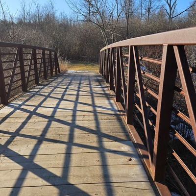
Stevensville Conservation Area
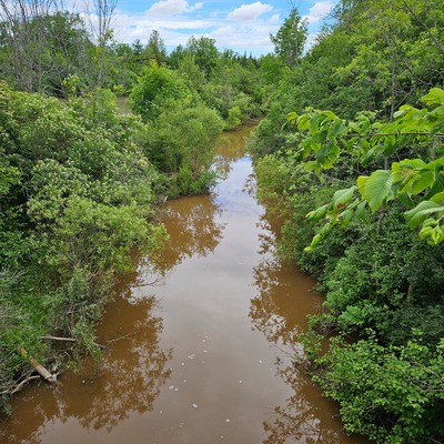
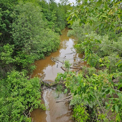
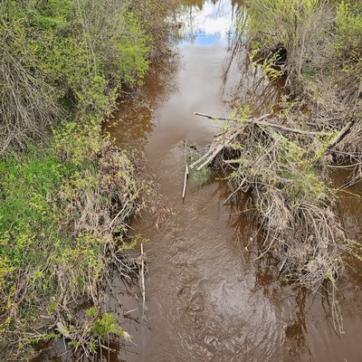
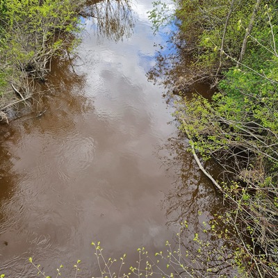
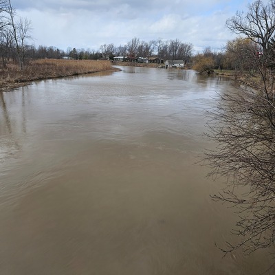
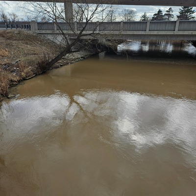
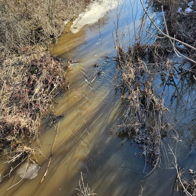
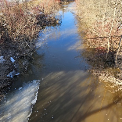
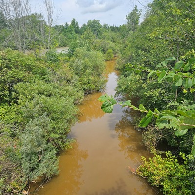
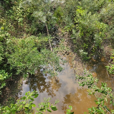
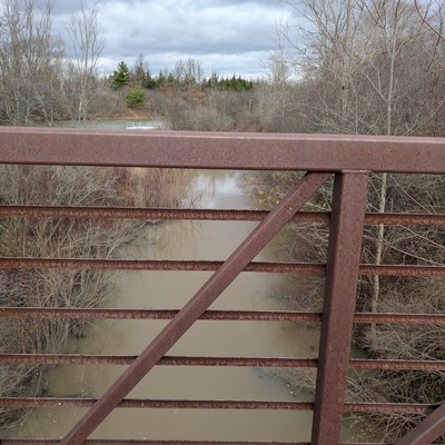
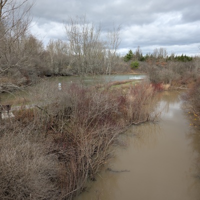
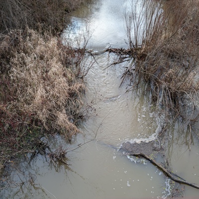
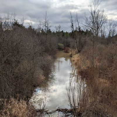
Black Creek
Black Creek in Ontario
Dataset summary
Stevensville Conservation Area has data for Ice on, current_weather, current_weather_description, previous_weather, previous_weather_description, colour, clarity, algae, on_the_water_s_surface, odour, water_flow, water_level, air_temperature, water_temperature, conductivity, oxygen, chlorine, ph, alkalinity, hardness, chloride, and water_use from 26 November 2024 to 20 June 2026.
About this location
- Water body type River or stream
- Dataset Lake Erie Rangers Monthly Monitoring, Lake Erie Rangers
- Data collector Mike Pressacco, Robin Cupolo
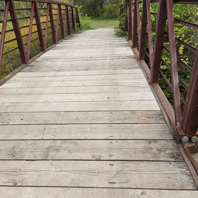
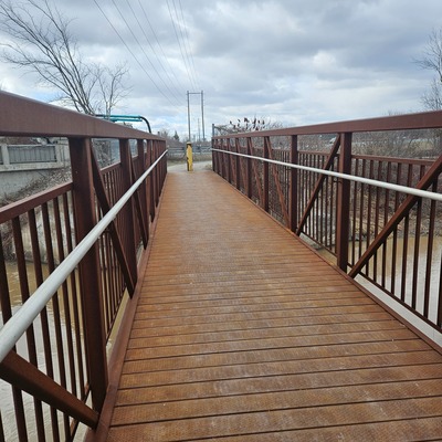
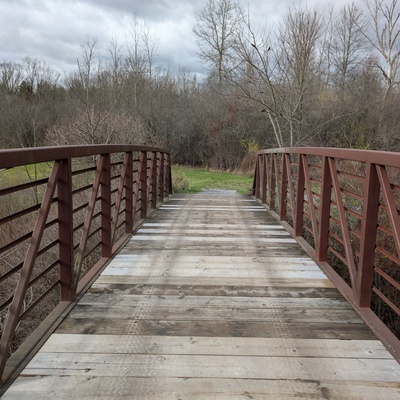
- Location description Water samples are collected using a throw-bucket off of the bridge. There is a lot of woody debris on the upstream side of the bridge, so we sample from the downstream side. There is a pond nearby, it appears to be offline (not connected to Black Creek) as the elevation is higher than the creek. There is a small parking area nearby. Access to the conservation area is free.
Data sharing
-
All datasets are open by default.
Download location data
This data is part of a bigger dataset, Lake Erie Rangers Monthly Monitoring.