
Location
South Inlet
Moore's Brook
Moore's Brook in England
Dataset summary
South Inlet has data for water_temperature, conductivity, air_temperature, phosphates, ammonia, turbidity, water_level, water_flow, on_the_water_s_surface, pollution_sources, odour, algae, colour, water_use, clarity, previous_weather, current_weather, previous_weather_description, current_weather_description, secchi_depth, and water_depth from 8 March 2025 to 12 September 2026.


About this location
- Water body type River or stream
- Dataset Lea Guardians, Thames21
- Data collector Rodger Thompstone
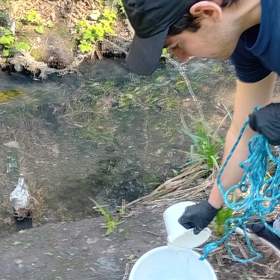
- Location description Piped water from Thames Water draining Winchmore Hill emerges here into an open watercourse and then flows north and east through ponds Cell 1 and 2 in Firs Farm to oxygenate before entering culvert to Pymmes Park. Post code is N21 2PH near Firs Lane
Data sharing
-
All datasets are open by default.
Download location data
This data is part of a bigger dataset, Lea Guardians.