Location
Salmon River in Roblin
Salmon River
Salmon River in Ontario
Dataset summary
Salmon River in Roblin has data for ph, oxygen, hardness, alkalinity, conductivity, air_temperature, water_temperature, and total_dissolved_solids_tds from 11 April 2018 to 2 October 2018.
About this location
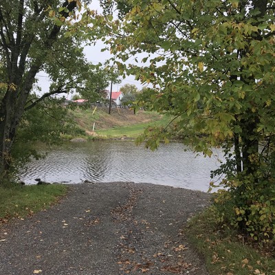
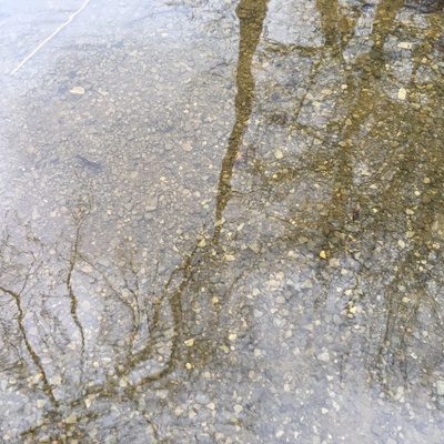
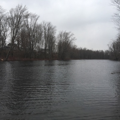
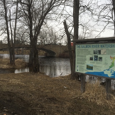
- Water body type River or stream
- Dataset Protect Our Waters, Protect Our Waters
- Data collector Jennifer Valentine
- Location description Public access point along the Salmon River, in Roblin. Sample location upstream from the bridge, adjacent Hwy 41. Course gravel substrate, good riparian edge at this location.
Data sharing
-
All datasets are open by default.
Download location data
This data is part of a bigger dataset, Protect Our Waters.