Location
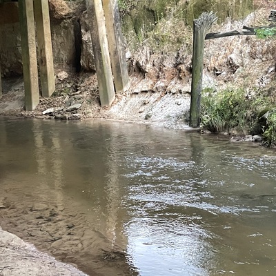
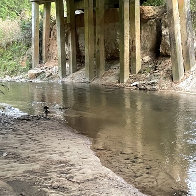
S Main St Bridge
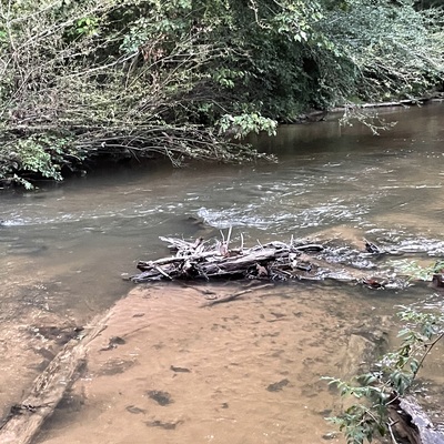
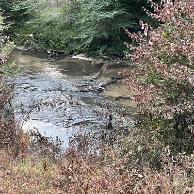
Rials Creek
Rials Creek in Mississippi
Dataset summary
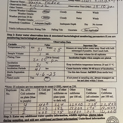
S Main St Bridge has data for e_coli, other_coliform, total_coliform, air_temperature, incubation_time, water_temperature, incubation_temperature, current_weather, and previous_weather from 22 June 2022 to 22 June 2022.

- Water body type River or stream
- Dataset Mississippi Water Stewards, Mississippi State University
- Data collector Karen Felder
- Location description
- Rials Creek flows east to west across Simpson County, MS and into the Strong River. Merit WP park and falls are located on Rials Creek. Test site coordinates are 31.91302 N and 89.87832W. Take Simpson Hwy 13 south from Mendenhall, turn left on Peacock Rd, then right onto S Main St. Go .6 mi south to the concrete bridge. Access creek from the left or northeast side of the bridge. Street Address: 1096 S Main St, Mendenhall, MS 39114.