Location
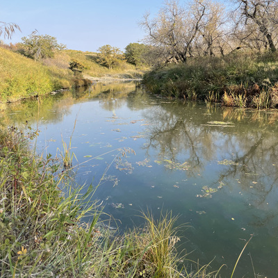
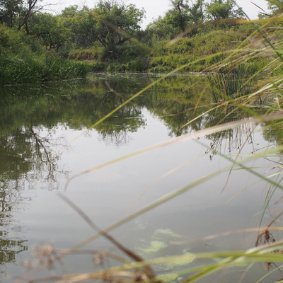
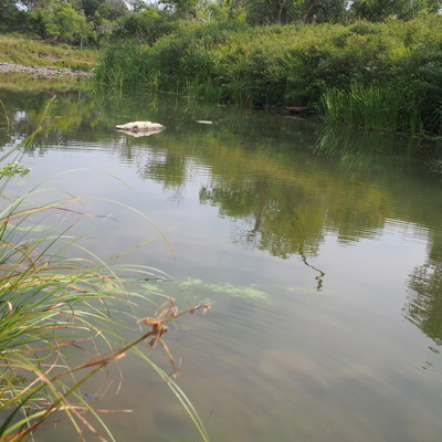
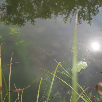
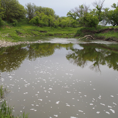
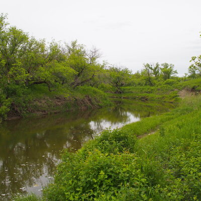
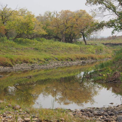
Pipestone Creek, northeast shore, between Moosomin Reservoir and Saskatchewan-Manitoba border
Pipestone Creek
Pipestone Creek in Saskatchewan
Dataset summary
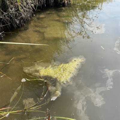
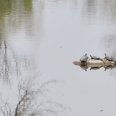
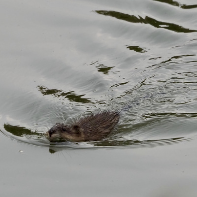
Pipestone Creek, northeast shore, between Moosomin Reservoir and Saskatchewan-Manitoba border has data for colour, water_level, water_flow, algae, odour, water_temperature, air_temperature, conductivity, water_depth, secchi_depth, oxygen, ph, previous_weather, current_weather, on_the_water_s_surface, nitrate_nitrogen, previous_weather_description, current_weather_description, pollution_sources, phosphate_phosphorus, and water_use from 28 May 2022 to 27 September 2024.
About this location
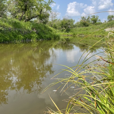
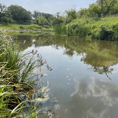
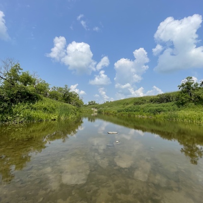
- Water body type River or stream
- Dataset Citizen Science, University of Regina
- Data collector Clint and Jody Blyth
- Location description Fairly shallow creek bed with eroded clay and silt banks eroding into upper Cretaceous Shale bedrock. some stones and boulders. Meandering Creek within incised glacial outwash channel. Ample unmitigated, agricultural drainage cumulative additional fluid contributions.
Data sharing
-
All datasets are open by default.
Download location data
This data is part of a bigger dataset, Citizen Science.