Location
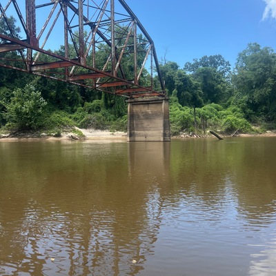
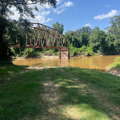
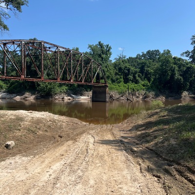
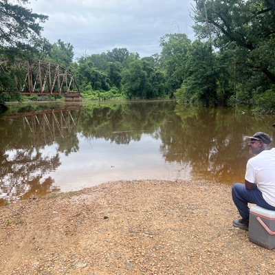
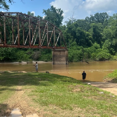
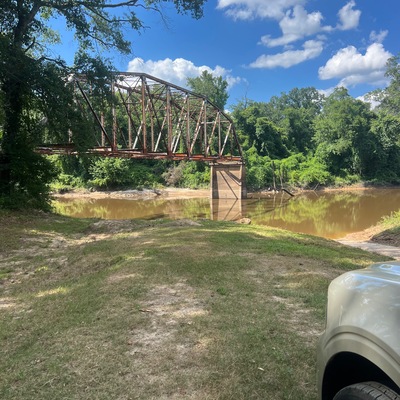
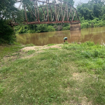
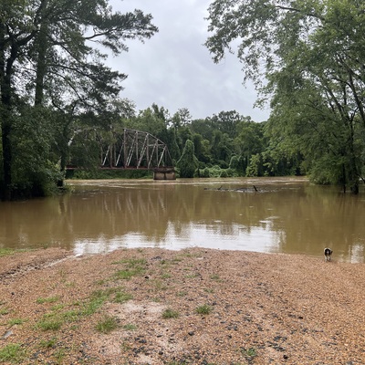
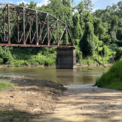
Old Highway 13 Bridge
Pearl River
Pearl River in Mississippi
Dataset summary
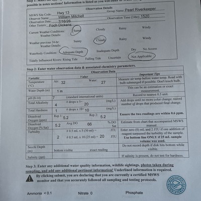
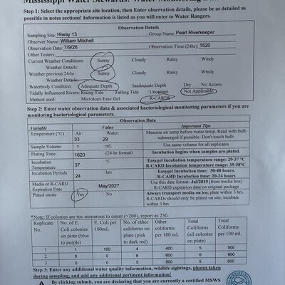
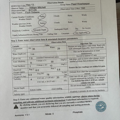
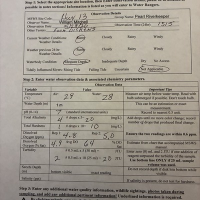
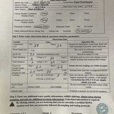
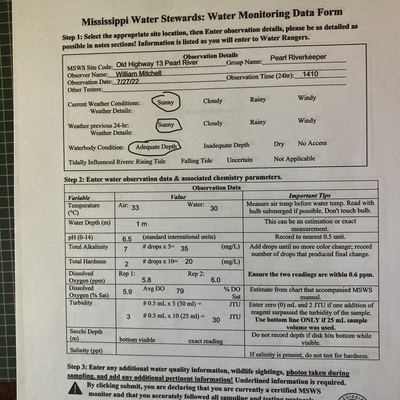
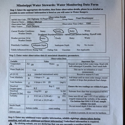
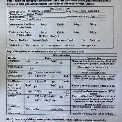
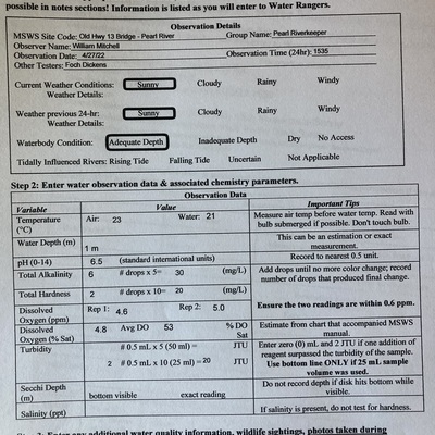
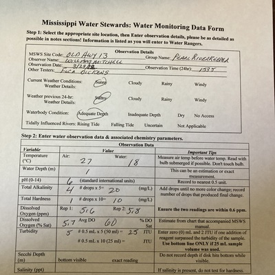
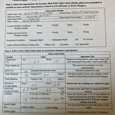
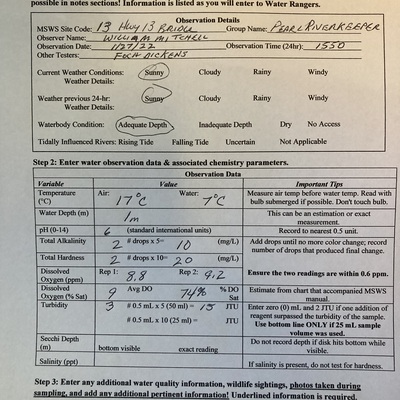
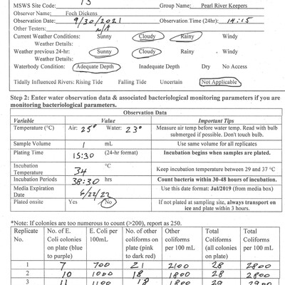
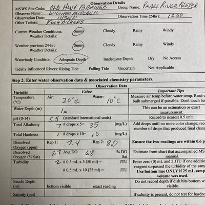
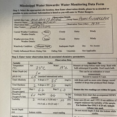
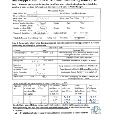
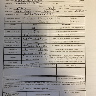
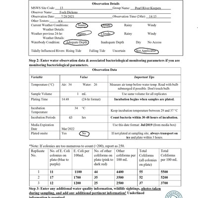
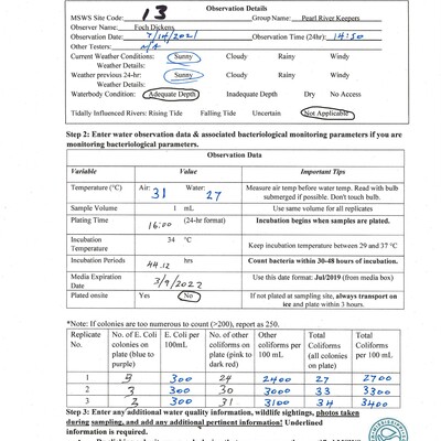
Old Highway 13 Bridge has data for total_coliform, incubation_time, incubation_temperature, current_weather, previous_weather, air_temperature, water_temperature, e_coli, other_coliform, turbidity, oxygen, nitrate_nitrogen, ammonia, water_depth, ph, hardness, alkalinity, current_weather_description, Ice on, previous_weather_description, phosphates, river_stage, flow, and secchi_depth from 19 September 2018 to 22 July 2026.
About this location
- Water body type River or stream
- Dataset Mississippi Water Stewards, Mississippi State University
- Data collector William W Mitchell
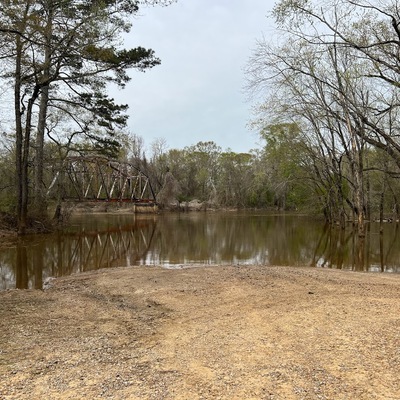
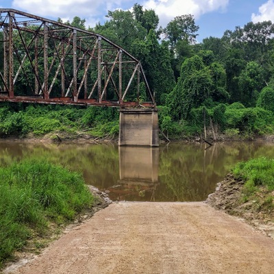
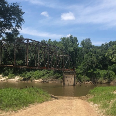
- Location description Site includes boat launch and picnic area. Summertime current is very slow. Muddy banks in immediate area. Rural with farms nearby.
Data sharing
-
All datasets are open by default.
Download location data
This data is part of a bigger dataset, Mississippi Water Stewards.