Location
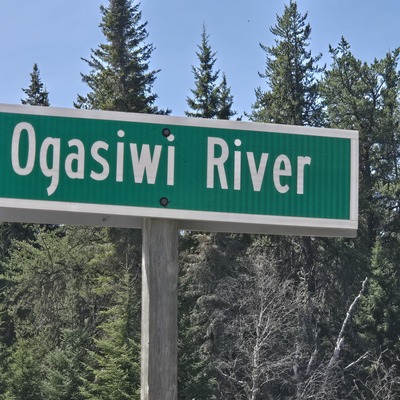
Ogasiwi Creek @ HWY 651
Ogasiwi Creek @ HWY 651
Ogasiwi Creek @ HWY 651 in Ontario
Dataset summary
Ogasiwi Creek @ HWY 651 has data for water_temperature, air_temperature, conductivity, water_depth, oxygen, alkalinity, secchi_depth, hardness, chlorine, previous_weather, current_weather, ph, previous_weather_description, and current_weather_description from 6 May 2025 to 15 June 2025.
- Water body type River or stream
- Dataset Missanabie Cree First Nation - Dog Lake Head Waters Monitoring Program, NORDIK Institute
- Data collector Ty Hourtovenko
Data sharing
-
All datasets are open by default.
Download location data
This data is part of a bigger dataset, Missanabie Cree First Nation - Dog Lake Head Waters Monitoring Program.
- Location description
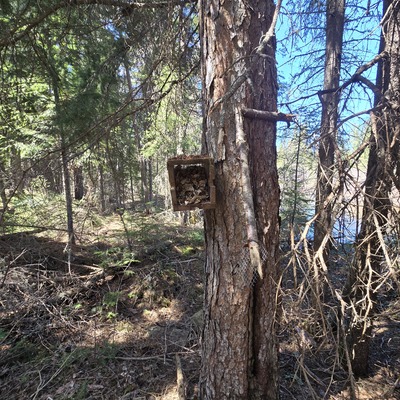
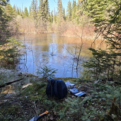
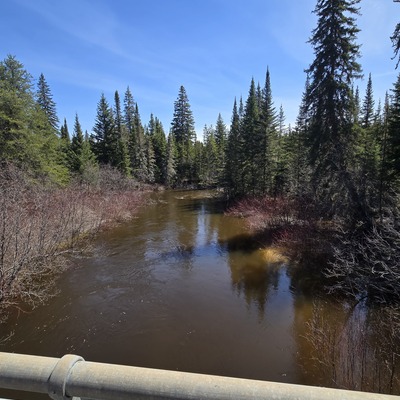
- Conveniently accessible along HWY 651. Culvert beneath HWY 651. Creek Flows South, and eventually travels to Shikwamka Lake, the headwaters of the Windermere River. This location is an addition to the HWY 651 Water Bodies to be included in our regional expansion for surface water monitoring.