
Location
Muskeg Creek
Muskeg Creek
Muskeg Creek in Alberta
Dataset summary
Muskeg Creek has data for alkalinity, chlorine, previous_weather, clarity, colour, algae, odour, on_the_water_s_surface, water_flow, water_level, secchi_depth, Ice on, water_depth, ph, oxygen, air_temperature, water_temperature, hardness, conductivity, current_weather, and current_weather_description from 18 July 2025 to 28 July 2026.
About this location
- Water body type River or stream
- Dataset Conservation Easement Baseline and Monitoring, Crooked Creek Conservancy Society of Athabasca
- Data collector Fiona Gregory
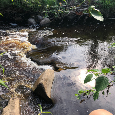
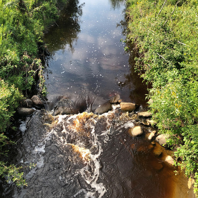
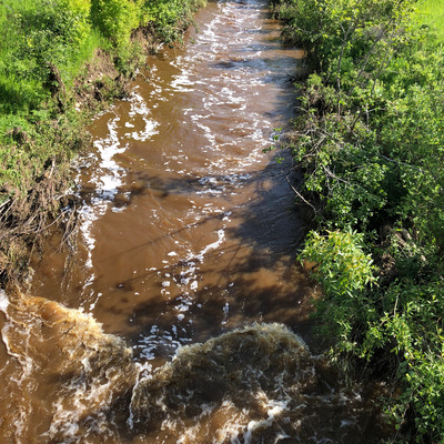
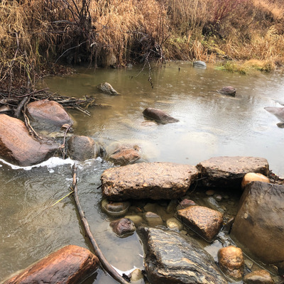
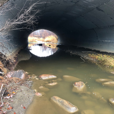
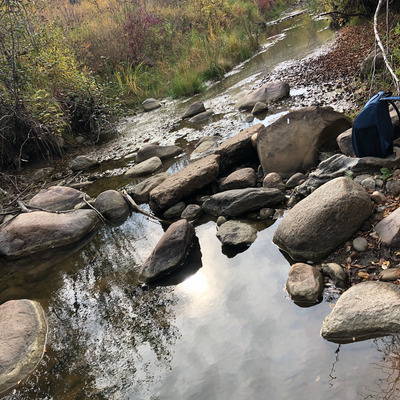
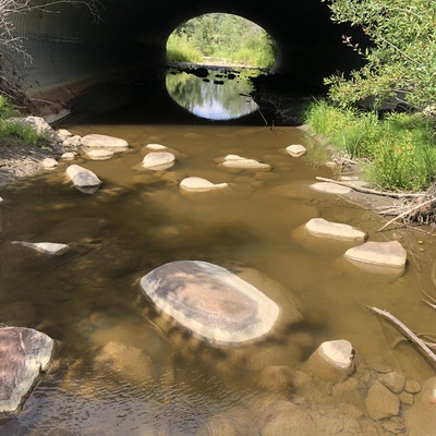
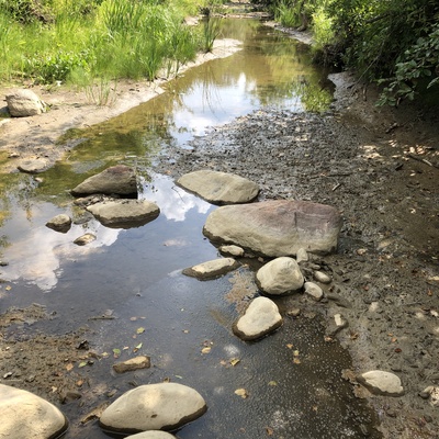
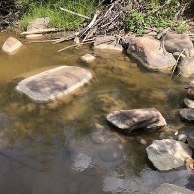
- Location description Muskeg Creek is a tributary of the Athabasca river that joins the river at the town of Athabasca. This location is just south of the culvert under Highway 55, not far from the outlet into the Athabasca. It has steep vegetated banks (about 7 m tall) with willow, forbs, horsetail, grasses. There is evidence of beaver activity and several dams on the creek. Muskeg Creek has a muddy bottom with stones. There is access from the paved trail nearby and scramble down the slope.
Data sharing
-
All datasets are open by default.
Download location data
This data is part of a bigger dataset, Conservation Easement Baseline and Monitoring.