Location
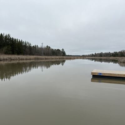
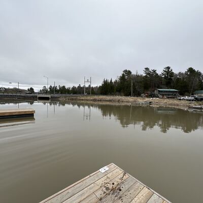
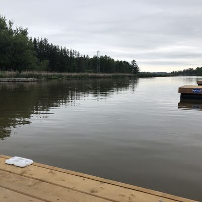
Municipal Dock
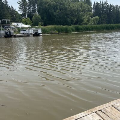
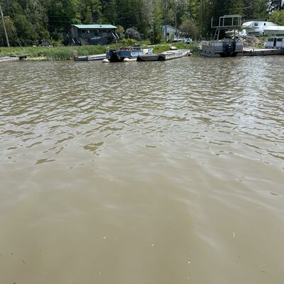
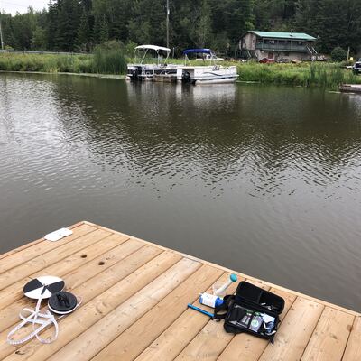
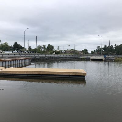
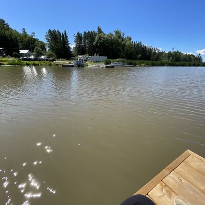
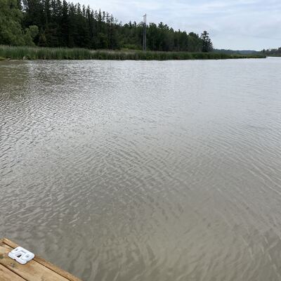
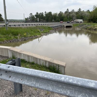
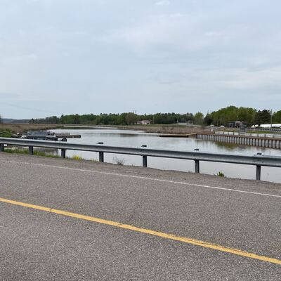
Desbarats River
Desbarats River in Ontario
Dataset summary
Municipal Dock has data for current_weather, previous_weather, secchi_depth, water_depth, ph, chlorine, hardness, alkalinity, conductivity, air_temperature, water_temperature, Ice on, current_weather_description, previous_weather_description, and total_dissolved_solids_tds from 30 May 2022 to 1 June 2026.

About this location
- Water body type River or stream
- Dataset Central Algoma Water Quality Monitoring, Central Algoma Land Trust
- Data collector Corinne Wilkerson
- Location description End of North dock
Data sharing
-
All datasets are open by default.
Download location data
This data is part of a bigger dataset, Central Algoma Water Quality Monitoring.