
Location
Muddy Creek Preserve
Muddy Creek #2 (NW)
Muddy Creek #2 (NW) in Iowa
Dataset summary
Muddy Creek Preserve has data for oxygen, water_temperature, air_temperature, nitrates, conductivity, hardness, chlorine, alkalinity, ph, on_the_water_s_surface, odour, previous_weather, current_weather, turbidity, recent_precipitation, previous_weather_description, and current_weather_description from 19 November 2025 to 14 May 2026.
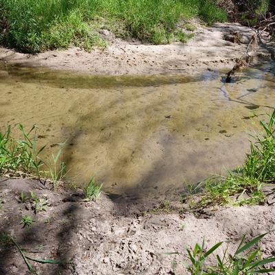
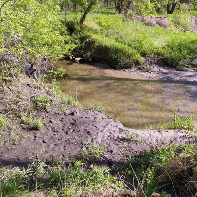
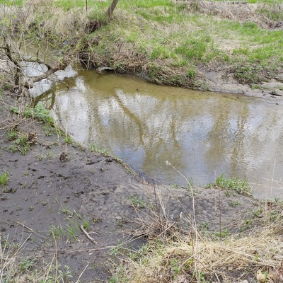
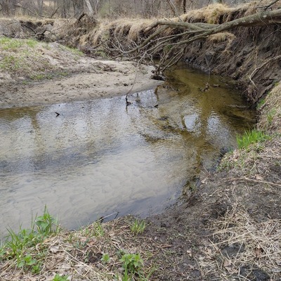
About this location
- Water body type River or stream
- Dataset Bur Oak Water Quality, Bur Oak Land Trust
- Data collector Olivia G
- Land use Urban park, Forest, Grassland shrub
- Bank vegetation Trees and shrubs, Grass
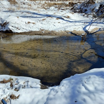
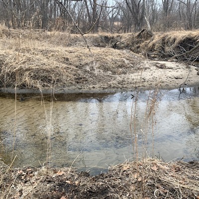
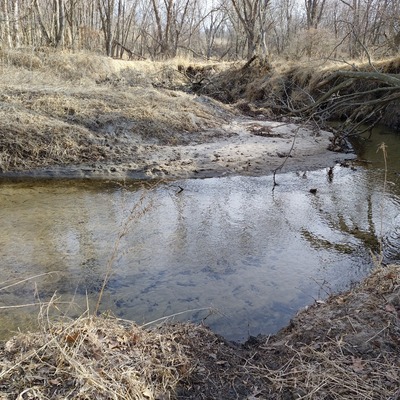
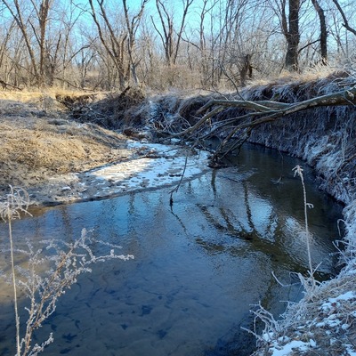
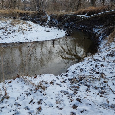
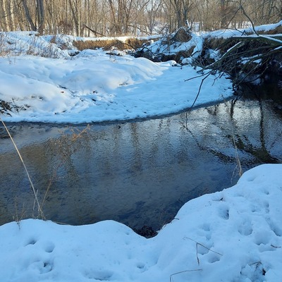
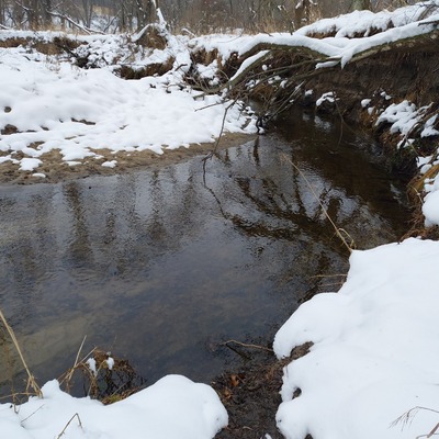
- Location description Primary Land Use: Heavily occupied by deciduous forest, with Muddy Creek crossing from W to E along the N end of the property. Deciduous forest land cover also present within .25 mi immediately upstream (NW) and downstream (SE) of property. Mix of pasture/hay and deciduous land uses to the N and NE of property. Low to medium land development to the S and SE of property, with topography suggesting runoff flowing down to the creek from these areas. |||Parcel & Surrounding Land Use Composition: 24% Developed/ 57% Forest/ 19% Shrub, Pasture & Grasslands/ 0.1 % Wetlands/ 1% Water
Data sharing
-
All datasets are open by default.
Download location data
This data is part of a bigger dataset, Bur Oak Water Quality.