Location
Maitland
Maitland Manor Creek AT ROAD CULVERT feeding the St. Lawrence
Maitland Manor Creek AT ROAD CULVERT feeding the St. Lawrence in Ontario
Dataset summary
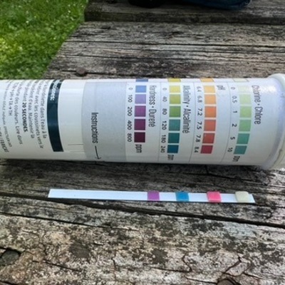
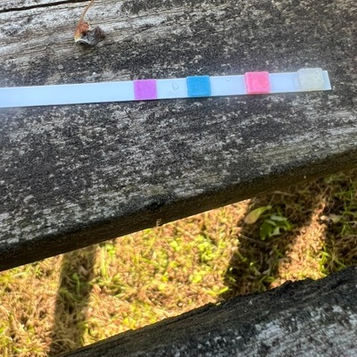
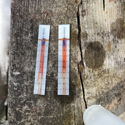
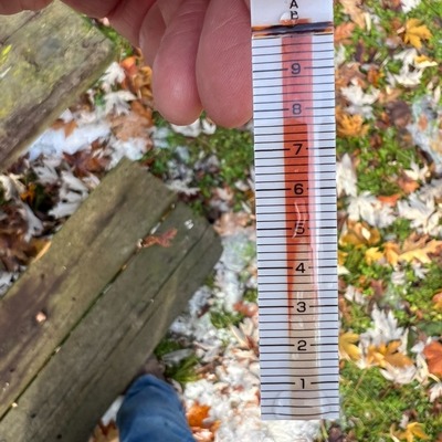
Maitland has data for current_weather_description, chloride, hardness, alkalinity, ph, chlorine, conductivity, water_temperature, air_temperature, Ice on, water_depth, secchi_depth, water_level, aquatic_vegetation, algae, previous_weather, current_weather, and previous_weather_description from 5 November 2025 to 25 July 2026.
About this location
- Water body type Channelized stream
- Dataset Upper St. Lawrence River Volunteer Monitoring, River Institute
- Land use Other
- Bank vegetation Trees and shrubs
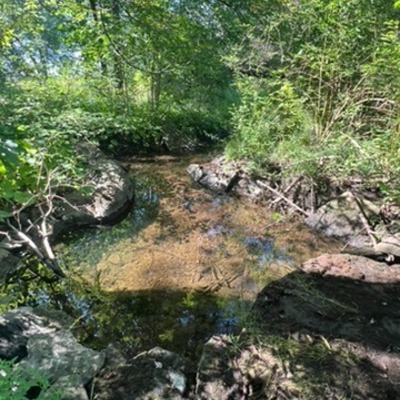
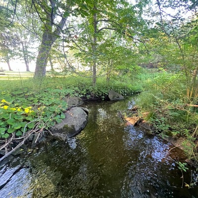
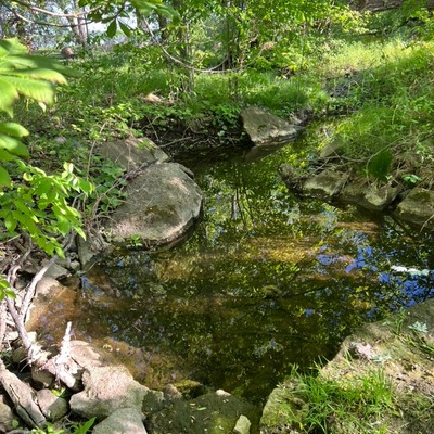
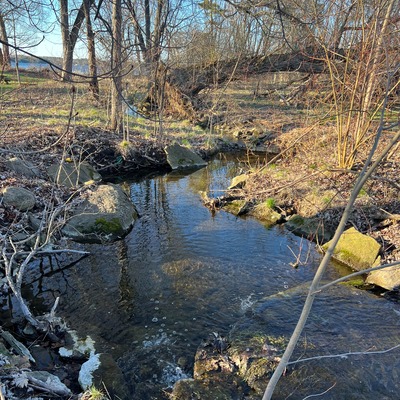
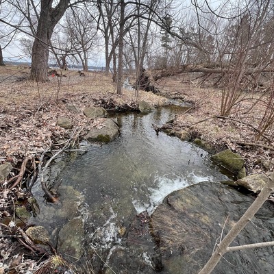
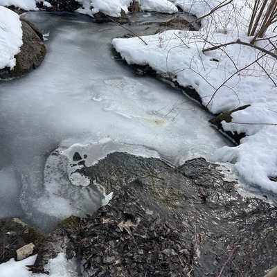
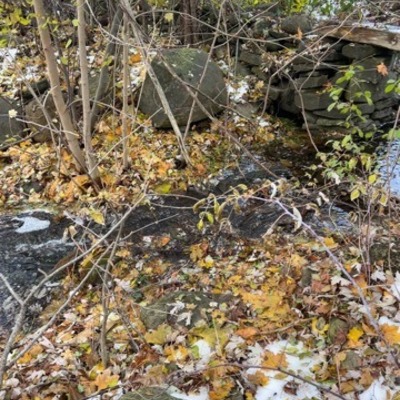
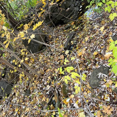
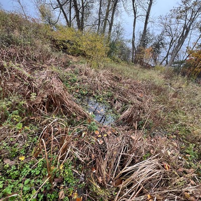
- Location description 1237 County Road 2, Maitland Manor Creek. Measurement site at the south side of the road at the culvert in the first pool about 2m from culvert exit
Data sharing
-
All datasets are open by default.
Download location data
This data is part of a bigger dataset, Upper St. Lawrence River Volunteer Monitoring.