Recent photos
-
1 June 2026 -
1 June 2026 -

1 June 2026 -
24 April 2026 -
24 April 2026 -
2 April 2026 -
2 April 2026 -
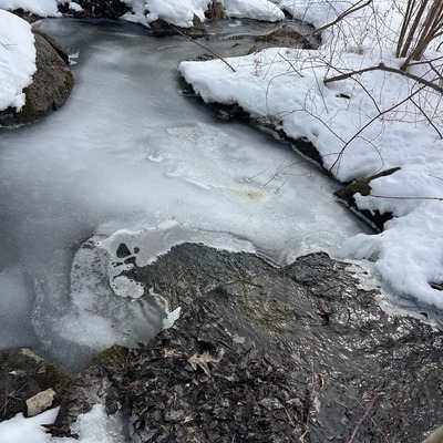
7 March 2026 -
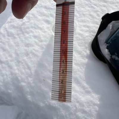
7 March 2026 -

30 January 2026 -

30 January 2026 -

6 January 2026 -

6 January 2026 -
14 December 2025 -

14 December 2025 -
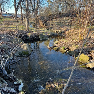
29 November 2025 -
29 November 2025 -
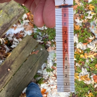
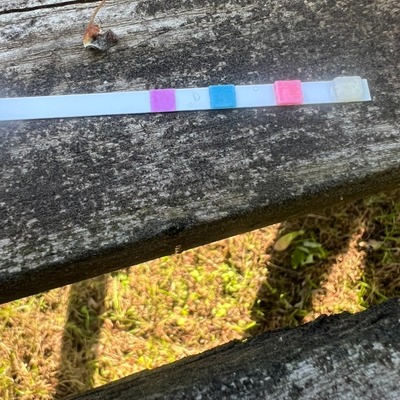
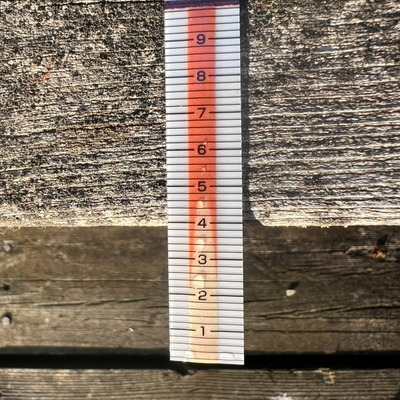
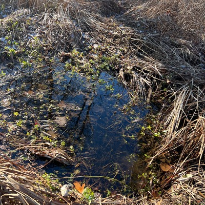
14 November 2025 -

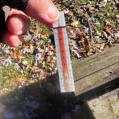
14 November 2025 -

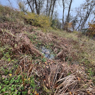
5 November 2025