Location
MacBeth bay creek at highway 17
MacBeth Creek
MacBeth Creek in Ontario
Dataset summary
MacBeth bay creek at highway 17 has data for ph, secchi_depth, chlorine, hardness, alkalinity, water_depth, conductivity, air_temperature, water_temperature, Ice on, current_weather, current_weather_description, previous_weather, and previous_weather_description from 5 June 2022 to 5 June 2022.
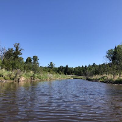
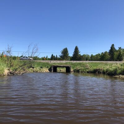
- Water body type River or stream
- Dataset Central Algoma Water Quality Monitoring, Central Algoma Land Trust
- Data collector Corinne Wilkerson
- Location description
- Observer : corinne