Location
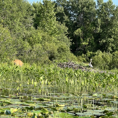
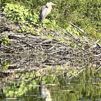
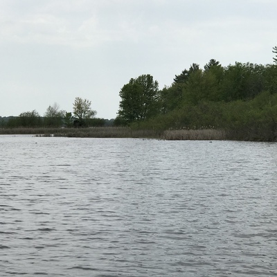
Lavergne Bay and Lavergne Marsh
Ottawa River
Ottawa River in Ontario
Dataset summary
Lavergne Bay and Lavergne Marsh has data for previous_weather_description, previous_weather, current_weather_description, current_weather, water_temperature, air_temperature, water_depth, alkalinity, hardness, secchi_depth, ph, conductivity, Ice on, oxygen, nitrate_nitrogen, nitrates, and nitrites from 22 July 2013 to 30 September 2024.

About this location
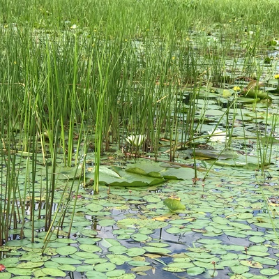
- Water body type River or stream
- Dataset Riverwatch, Ottawa Riverkeeper
- Data collector Pat Tait
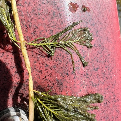
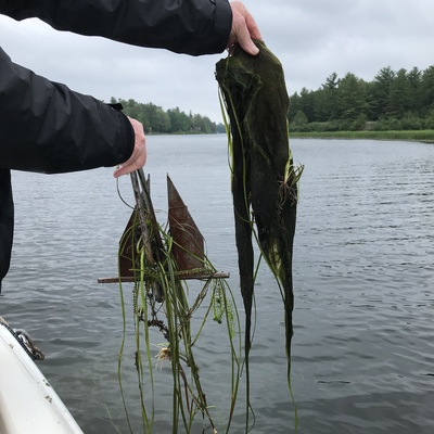
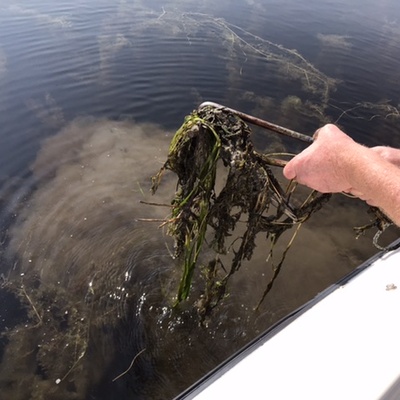
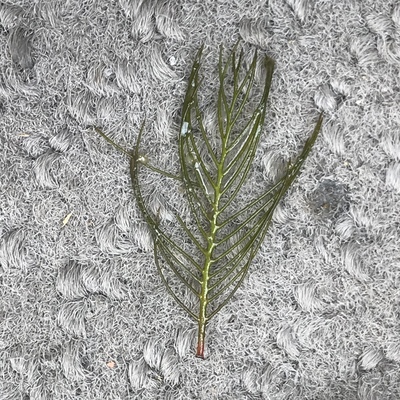
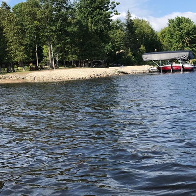
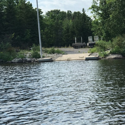
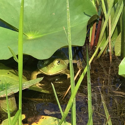
- Location description Marsh has had changes over past couple of years. The spit of land between the marsh and the mouth of the Mississippi is now devoid of trees as they were cut down. Leaves marsh more open to flooding and wind. Large commercial dock and launch built just outside of marsh although not used much.
Data sharing
-
All datasets are open by default.
Download location data
This data is part of a bigger dataset, Riverwatch.