Recent photos
-

20 July 2025 -

9 July 2025 -

9 July 2025 -

5 April 2025 -
31 January 2025 -
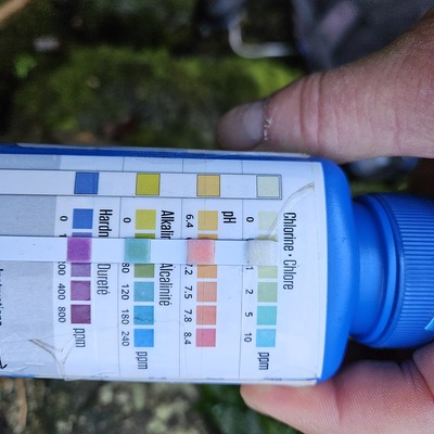
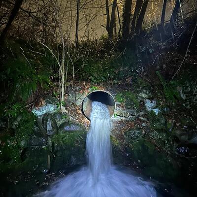
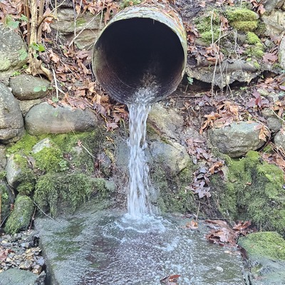
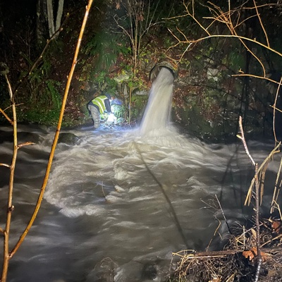
29 January 2025 -
29 January 2025 -

15 January 2025 -
7 December 2024 -
28 November 2024 -
9 November 2024 -

7 November 2024 -

14 October 2024 -

4 October 2024 -

3 October 2024 -

25 September 2024 -
13 September 2024 -

13 September 2024 -
5 September 2024 -
1 September 2024