
Location
IFSG - Water Pit
Ground Water
Ground Water in Ontario
Dataset summary
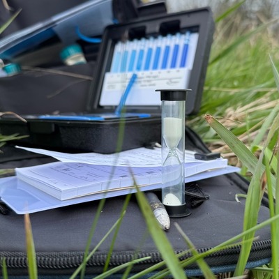
IFSG - Water Pit has data for current_weather, current_weather_description, previous_weather_description, water_use, colour, clarity, algae, on_the_water_s_surface, pollution_sources, odour, secchi_depth, water_flow, water_level, air_temperature, water_temperature, conductivity, chlorine, ph, alkalinity, hardness, and oxygen from 5 May 2026 to 5 May 2026.
About this location
- Water body type Pond
- Dataset 1467 Hwy 15 Indigenous Food Sovereignty Garden, All Our Relations Land Trust
- Data collector Natasha Darling
- Land use Agriculture, Other
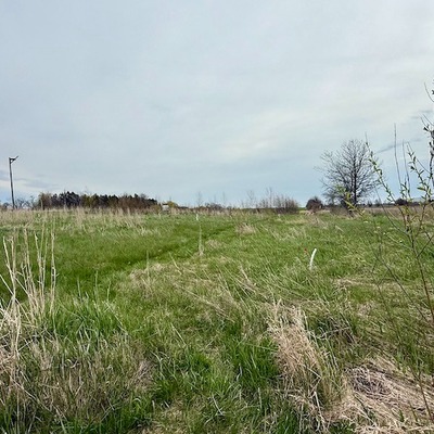
- Bank vegetation Trees and shrubs, Grass
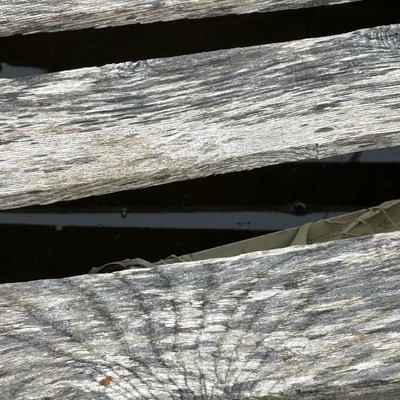
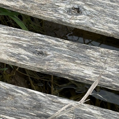
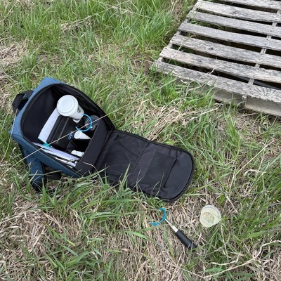
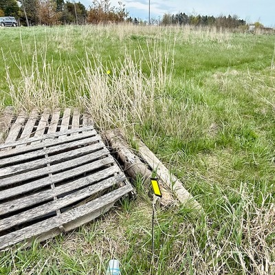
- Location description This is a small water pit on the south east corner of the garden. It is covered by wooden pallets.
Data sharing
-
All datasets are open by default.
Download location data
This data is part of a bigger dataset, 1467 Hwy 15 Indigenous Food Sovereignty Garden.
