Location
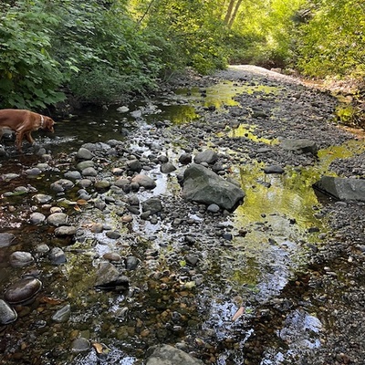
Hyland Creek Watershed 12: Hyland Creek near 66 Avenue cul-de-sac
Hyland Creek
Hyland Creek in British Columbia
Dataset summary
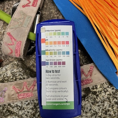
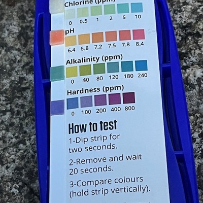
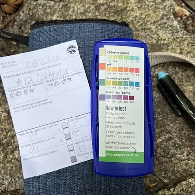
Hyland Creek Watershed 12: Hyland Creek near 66 Avenue cul-de-sac has data for previous_weather, previous_weather_description, ph, chlorine, hardness, alkalinity, air_temperature, water_temperature, secchi_depth, current_weather, and current_weather_description from 28 June 2025 to 22 September 2025.
About this location
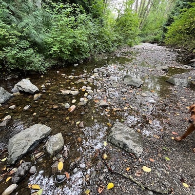
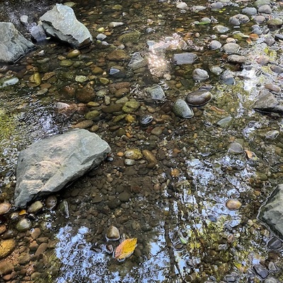
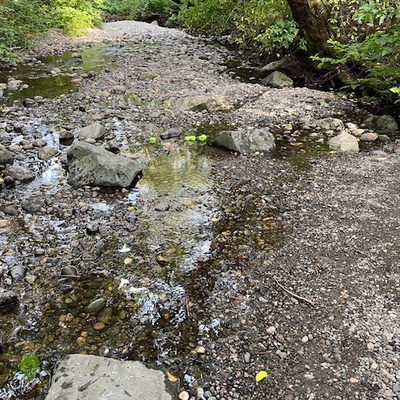
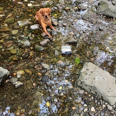
- Water body type River or stream
- Dataset Water Quality Action Project, City of Surrey
- Data collector Praise Osifo
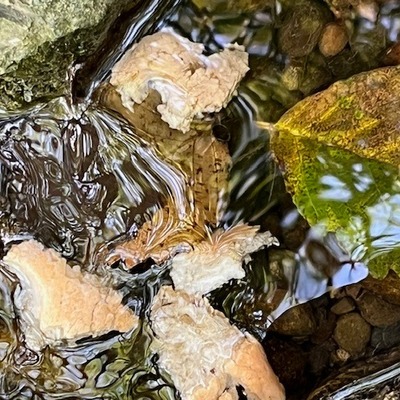
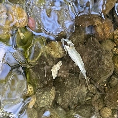
- Location description Following the path that leads east from the ends of the 66 Avenue cul-de-sac. This site is in the middle of the bridge that crosses Hyland Creek. Collect your sample from either side of the bridge and look out for fish amongst the rock gardens; these were constructed just for salmonids!
Data sharing
-
All datasets are open by default.
Download location data
This data is part of a bigger dataset, Water Quality Action Project.