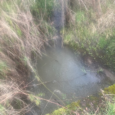
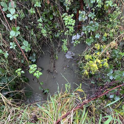
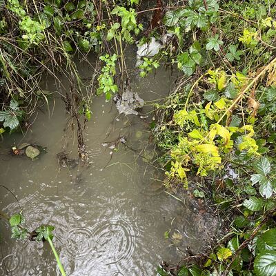
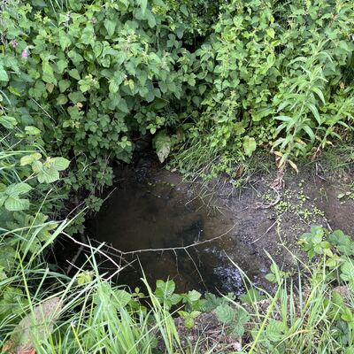
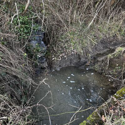
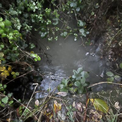
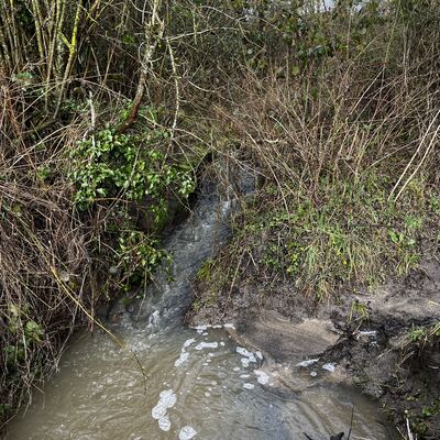
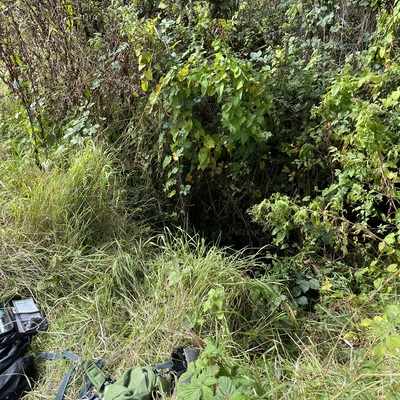
Location
Hole Farm Lane
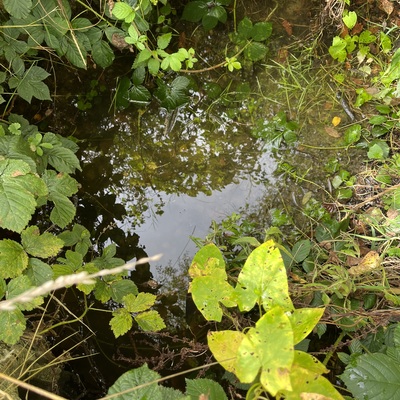
Tributary runs into north Wey
Tributary runs into north Wey in Hampshire
Dataset summary
Hole Farm Lane has data for previous_weather, water_flow, water_level, clarity, air_temperature, water_temperature, conductivity, chlorine, ph, alkalinity, hardness, phosphate_phosphorus, nitrate_nitrogen, nitrites, nitrates, phosphates, water_depth, Ice on, current_weather, on_the_water_s_surface, odour, colour, algae, current_weather_description, and previous_weather_description from 24 September 2023 to 21 February 2026.
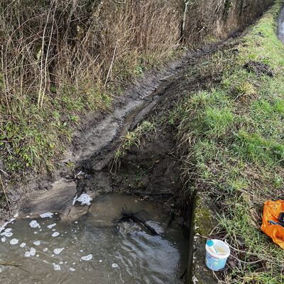
- Water body type River or stream
- Dataset South Wey Hub, River Wey Trust
- Data collector Sally Ferguson
- Location description
- Small tributary runs down from well-Crondall chalk ridge to N Wey. Enters N Wey near to Gravel Hill Rd ( just south of A31) This is 1.7 miles upstream of Farnham town.