Location
Hand Lake @ HWY 651
Hand Lake @ HWY651
Hand Lake @ HWY651 in Ontario
Dataset summary
Hand Lake @ HWY 651 has data for previous_weather, ph, oxygen, secchi_depth, chlorine, hardness, alkalinity, water_depth, conductivity, air_temperature, water_temperature, and current_weather from 6 May 2025 to 15 June 2025.

- Water body type Lake
- Dataset Missanabie Cree First Nation - Dog Lake Head Waters Monitoring Program, NORDIK Institute
- Data collector Ty Hourtovenko
Data sharing
-
All datasets are open by default.
Download location data
This data is part of a bigger dataset, Missanabie Cree First Nation - Dog Lake Head Waters Monitoring Program.
- Location description
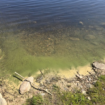
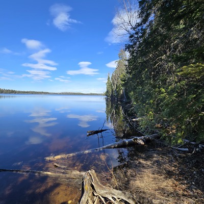
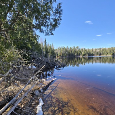
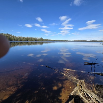
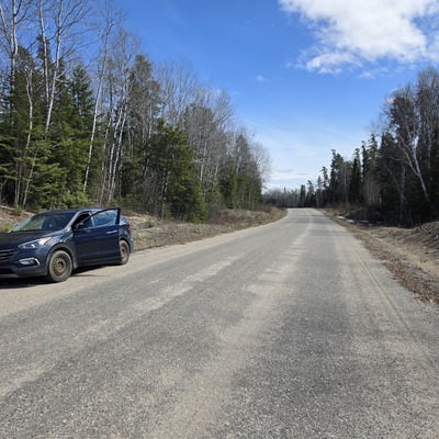
- Hand Lake, located along HWY 651 en-route to Missanabie, is conveniently visible and easily accessible from the highway. Adding this lake to the MCFN regional monitoring plan for further data collection. A slight trail has been cut and flagged for further convenience.