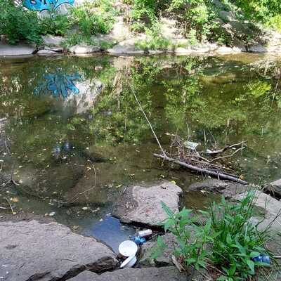
Location
@ Greenwood Drive after confluence with Hagar Creek
Indian Creek
Indian Creek in Ontario
Dataset summary
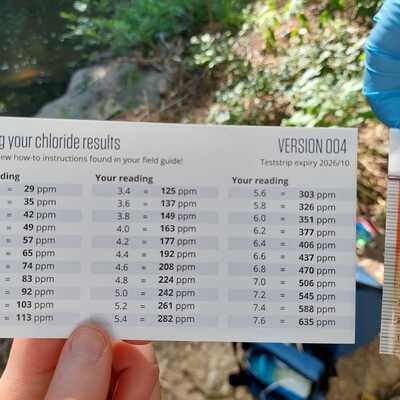
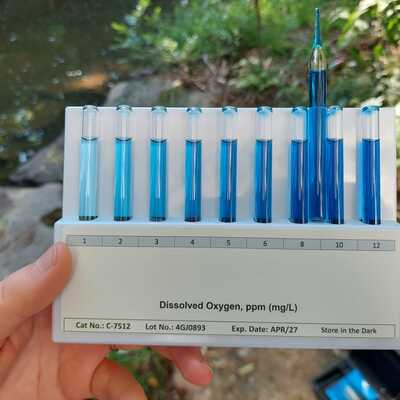
@ Greenwood Drive after confluence with Hagar Creek has data for water_level, current_weather_description, previous_weather_description, algae, odour, clarity, water_flow, water_use, colour, on_the_water_s_surface, ph, hardness, alkalinity, air_temperature, water_temperature, oxygen, water_depth, secchi_depth, Ice on, pollution_signs, current_weather, chloride, chlorine, previous_weather, and conductivity from 29 October 2024 to 24 July 2025.


- Water body type River or stream
- Dataset Lake Erie Rangers Monthly Monitoring, Lake Erie Rangers
- Data collector Kat Kavanagh
Data sharing
-
All datasets are open by default.
Download location data
This data is part of a bigger dataset, Lake Erie Rangers Monthly Monitoring.
- Land use
- Bank vegetation
- Location description
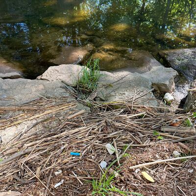
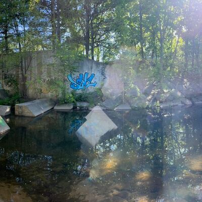
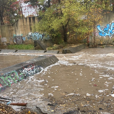
- Rocky access to spillway.