Location
Goldie River @ HWY 651
Goldie River @ HWY 651
Goldie River @ HWY 651 in Ontario
Dataset summary
Goldie River @ HWY 651 has data for ph, hardness, previous_weather, current_weather, water_temperature, air_temperature, conductivity, water_depth, alkalinity, secchi_depth, oxygen, chlorine, previous_weather_description, and current_weather_description from 6 May 2025 to 15 June 2025.

- Water body type River or stream
- Dataset Missanabie Cree First Nation - Dog Lake Head Waters Monitoring Program, NORDIK Institute
- Data collector Ty Hourtovenko
Data sharing
-
All datasets are open by default.
Download location data
This data is part of a bigger dataset, Missanabie Cree First Nation - Dog Lake Head Waters Monitoring Program.
- Location description
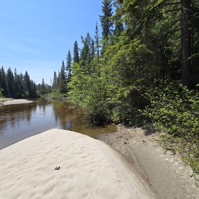
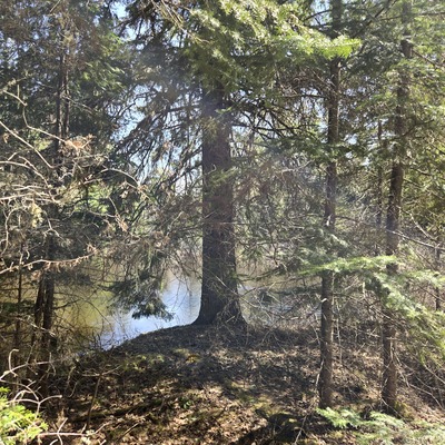
- Goldie River runs south from Forty Four Lake to the east, and funnels southwest to Shikwamkwa Lake, and continues south down the Windermere River. The water level is higher in the spring and flows swiftly. This river has a sandy bottom and its shoreline is consumed with boreal forest features tight to the shore.