
Location
First Bridge on County Rd 28
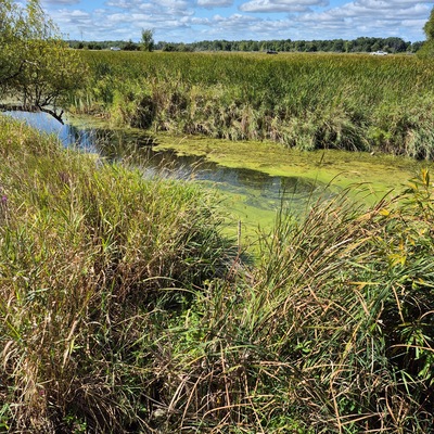
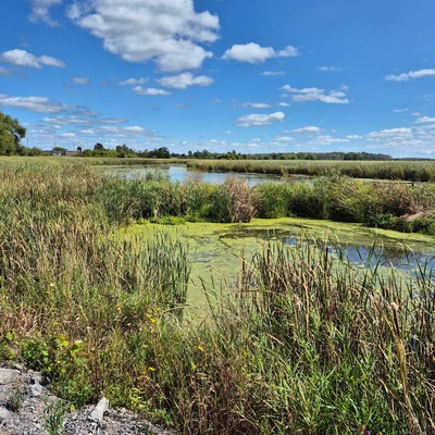
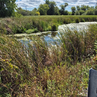
Massassauga Marsh
Massassauga Marsh in Ontario
Dataset summary
First Bridge on County Rd 28 has data for current_weather_description, previous_weather, water_temperature, air_temperature, conductivity, alkalinity, hardness, oxygen, ph, water_depth, secchi_depth, Ice on, current_weather, previous_weather_description, and chlorine from 7 August 2019 to 24 June 2026.

About this location
- Water body type Wetland
- Dataset County Sustainability Group, County Sustainability Group
- Data collector Don Ross
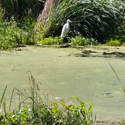
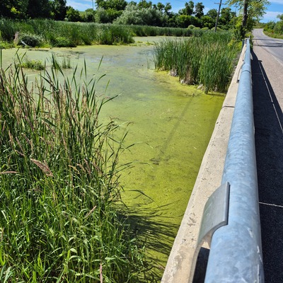
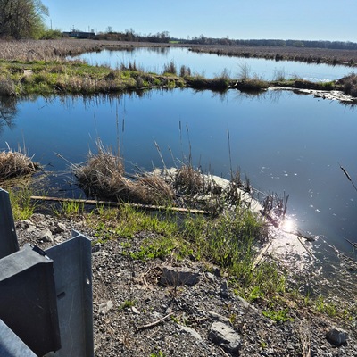
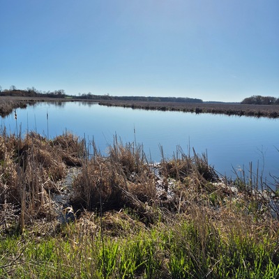
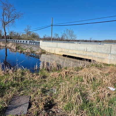
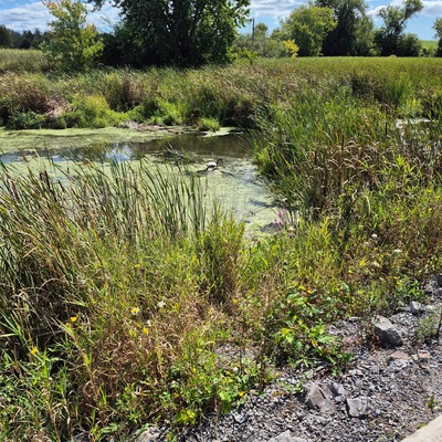
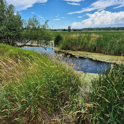
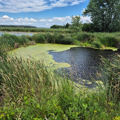
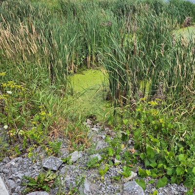
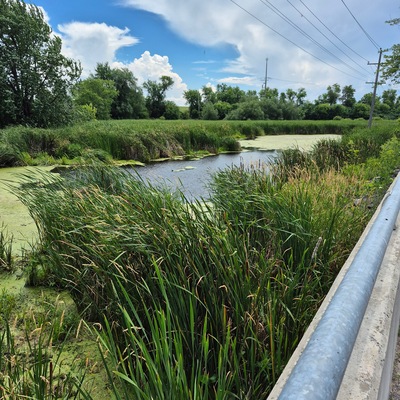
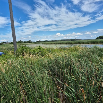
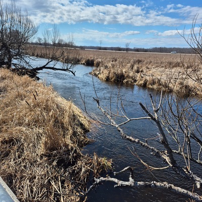
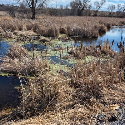
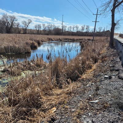
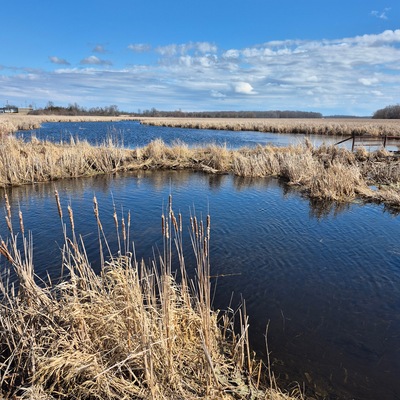
- Location description Just off Hwy 62 on Cty Rd 28 to first bridge crossing the creek on the Massassauga Marsh. Safe place to park beside bridge and can access water easily. Sometimes lately spring flooding has closed access to this road for periods of time.
Data sharing
-
All datasets are open by default.
Download location data
This data is part of a bigger dataset, County Sustainability Group.