
Location
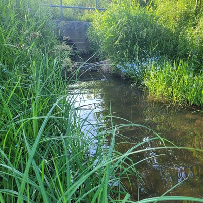
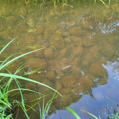
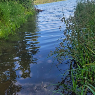
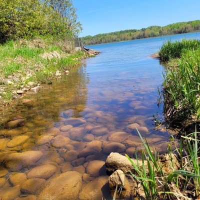
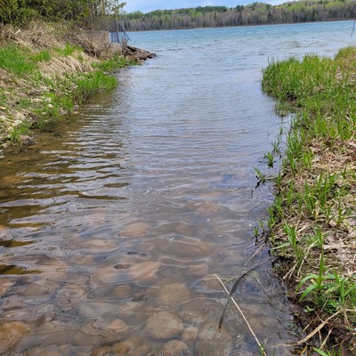
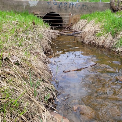
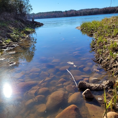
Dacey Rd Outfall at St. Marys River
Storm Water
Storm Water in Ontario
Dataset summary
Dacey Rd Outfall at St. Marys River has data for current_weather, hardness, alkalinity, chlorine, ph, oxygen, conductivity, water_temperature, air_temperature, secchi_depth, water_depth, water_level, water_flow, on_the_water_s_surface, pollution_sources, odour, algae, colour, water_use, clarity, previous_weather_description, previous_weather, chloride, salinity, and current_weather_description from 10 March 2025 to 2 July 2026.
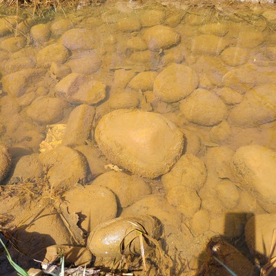
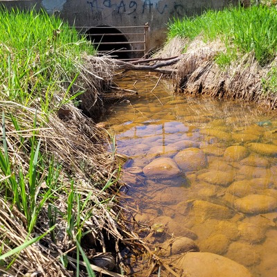
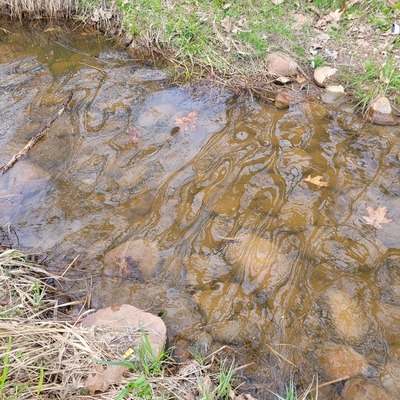
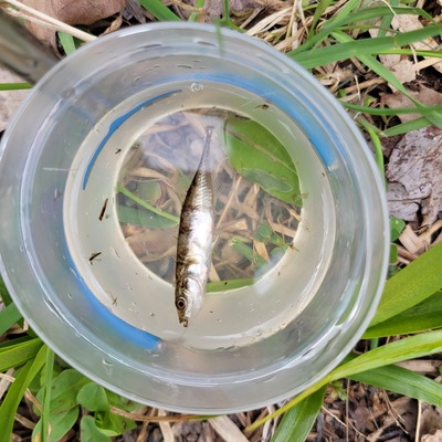


About this location
- Water body type River or stream
- Dataset Sault Ste. Marie Water Rangers Team, NORDIK Institute
- Data collector Community Volunteers
- Location description This water body is a Storm Water.
Data sharing
-
All datasets are open by default.
Download location data
This data is part of a bigger dataset, Sault Ste. Marie Water Rangers Team.
