
Location
Corriell Nature Preserve
Corriell Anabranch #3 (N)
Corriell Anabranch #3 (N) in Iowa
Dataset summary
Corriell Nature Preserve has data for oxygen, water_temperature, air_temperature, nitrates, conductivity, hardness, chlorine, alkalinity, ph, on_the_water_s_surface, odour, recent_precipitation, previous_weather, current_weather, turbidity, pollution_signs, and previous_weather_description from 11 February 2026 to 20 May 2026.
About this location
- Water body type River or stream
- Dataset Bur Oak Water Quality, Bur Oak Land Trust
- Data collector Olivia G
- Land use Forest
- Bank vegetation Trees and shrubs, Grass
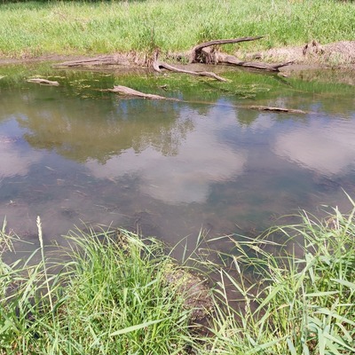
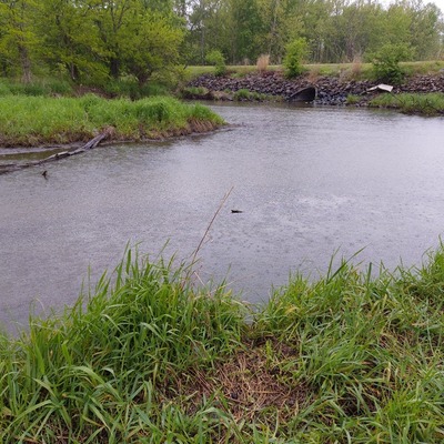
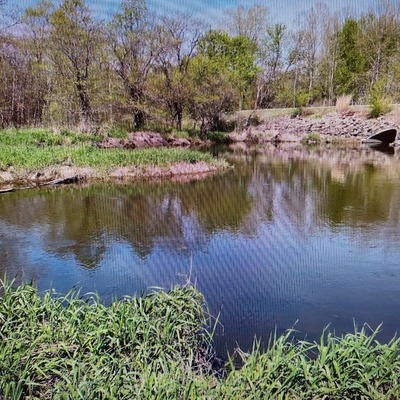
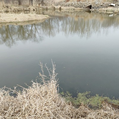
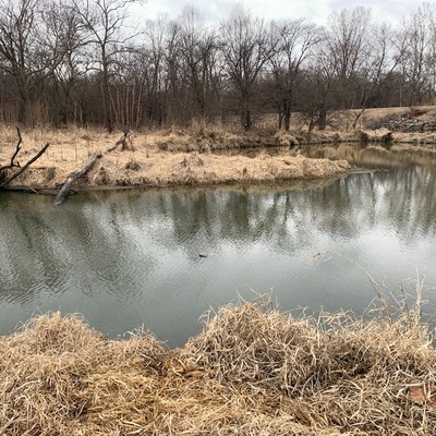
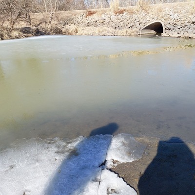
- Location description Primary Land Use: Emergent woody herbaceous wetlands, with patches of woody wetland and grassland throughout. Cultivated crops is the primary land usage to the immediate NW, W and SW of the property. Woody wetlands are present immediately to the NE, E, and SE of the property. The Cedar River runs along the SE boundary of the property, flowing S, with an anabranch extending through the property, entering from the N. Low lying area with minimum predicted topographic influence. Slightly elevated plateau to the NW of property. |||Parcel & Surrounding Land Use Composition: 13% Open Water/ 4% Developed/ 1% Barren Land/ 0.3% Forest/ 6% Pasture & Grasslands/ 27% Crops/ 49% Wetlands
Data sharing
-
All datasets are open by default.
Download location data
This data is part of a bigger dataset, Bur Oak Water Quality.