Location
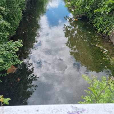
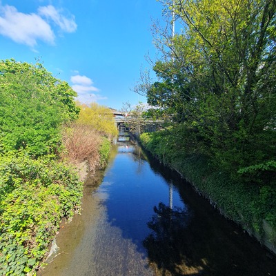
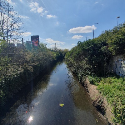
Brent Cross
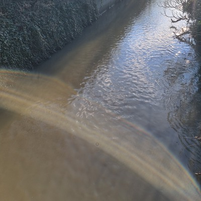
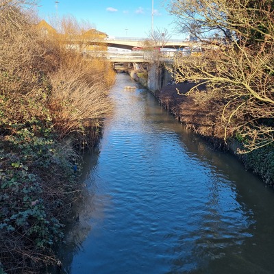
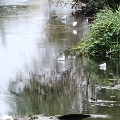
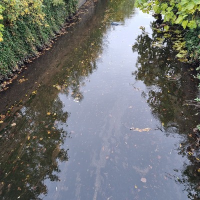
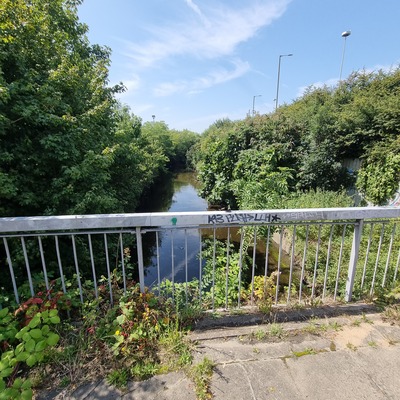
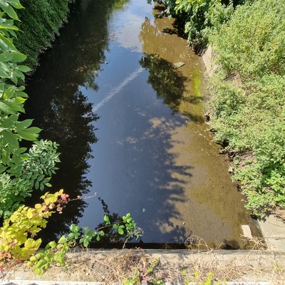
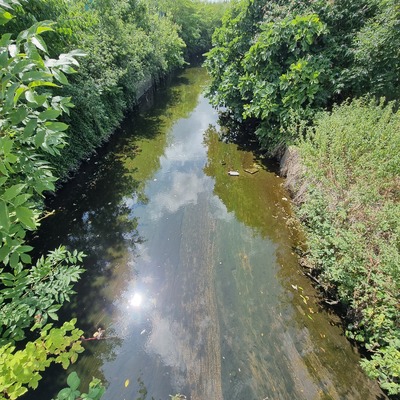
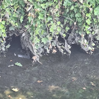
River Brent
River Brent in Barnet
Dataset summary
Brent Cross has data for pollution_sources, odour, algae, colour, previous_weather, previous_weather_description, clarity, current_weather, current_weather_description, air_temperature, phosphates, water_temperature, turbidity, conductivity, ammonia, water_level, water_flow, on_the_water_s_surface, secchi_depth, ph, and oxygen from 18 February 2025 to 14 May 2026.


About this location
- Water body type River or stream
- Dataset Brent Catchment Water Quality Working Group, Thames21
- Data collector Dianne Murphy
- Location description Footpath over River Brent near Fenwicks and NCR bus stop. Heavily canalised channel, wide, with concrete bed and vertical concrete walls. Down stream of Shirehall Park Weir and Brent Cross flyover Up stream of the confluence with the Clitterhouse brook. North circular road, shopping centre car parks on both sides. Shopping trolleys and lime bikes often feature here
Data sharing
-
All datasets are open by default.
Download location data
This data is part of a bigger dataset, Brent Catchment Water Quality Working Group.