Location
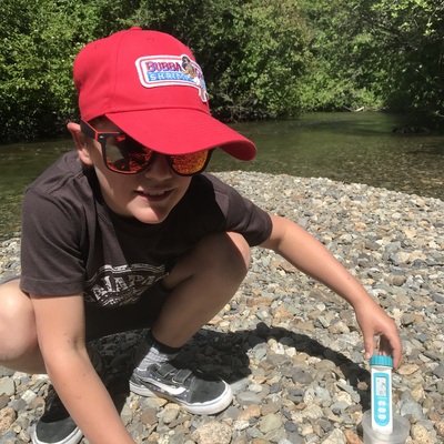
bottom of Lorimer Road
River of Golden Dreams
River of Golden Dreams in British Columbia
Dataset summary
bottom of Lorimer Road has data for oxygen, chlorine, hardness, alkalinity, conductivity, air_temperature, water_temperature, ph, secchi_depth, current_weather, previous_weather, water_depth, previous_weather_description, and current_weather_description from 28 April 2023 to 15 October 2025.
- Water body type River or stream
- Dataset students, Myrtle Philip Community School
- Data collector Jane Millen
Data sharing
-
All datasets are open by default.
Download location data
This data is part of a bigger dataset, students.
- Location description
- Just downstream of where the outflow of Alta Lake joins 19 Mile creek, at the beach facing the water depth marker. The water is flowing and shallow a lot of the year, but can flood in spring and fall.