Location
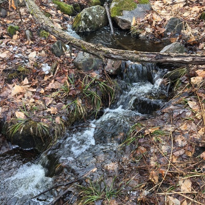
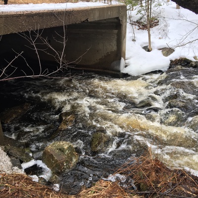
Bon Echo Creek adjacent Hwy 41
Bon Echo Lake
Bon Echo Lake in Ontario
Dataset summary
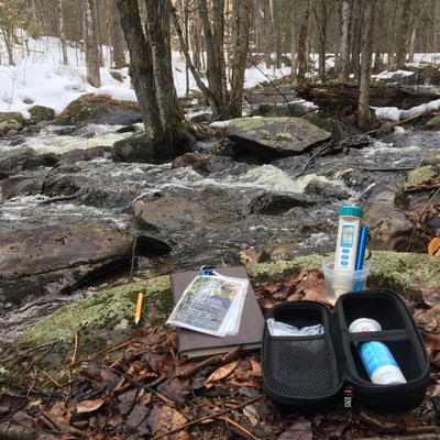
Bon Echo Creek adjacent Hwy 41 has data for ph, conductivity, air_temperature, water_temperature, total_dissolved_solids_tds, hardness, and alkalinity from 11 April 2018 to 11 April 2018.
About this location
- Water body type Lake
- Dataset Protect Our Waters, Protect Our Waters
- Data collector Jennifer Valentine
- Location description Large boulders scattered throughout creek bed. Deciduous forest consisting mainly of maple, oak, elm and beech tress. Sample location upstream from Hwy 41, across from Bon Echo Provincial Park.
Data sharing
-
All datasets are open by default.
Download location data
This data is part of a bigger dataset, Protect Our Waters.