Location
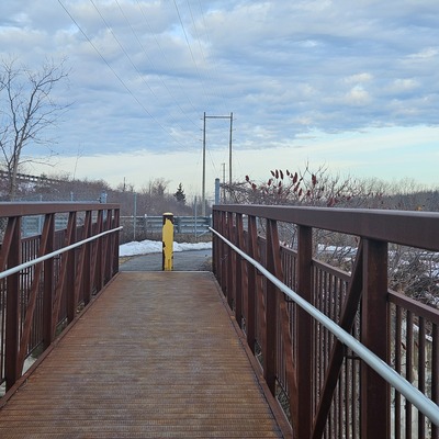
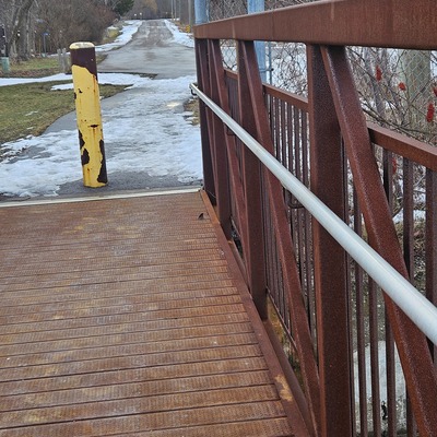
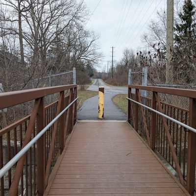
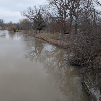
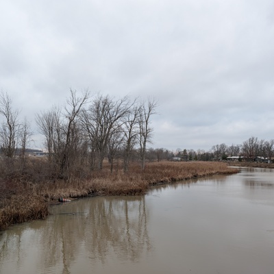
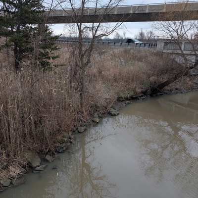
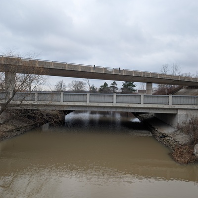
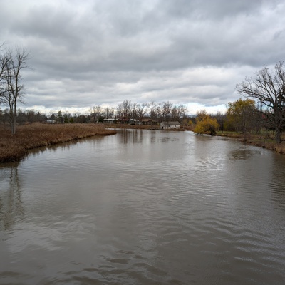
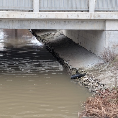
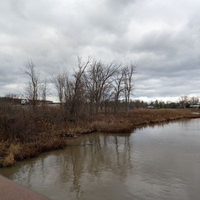
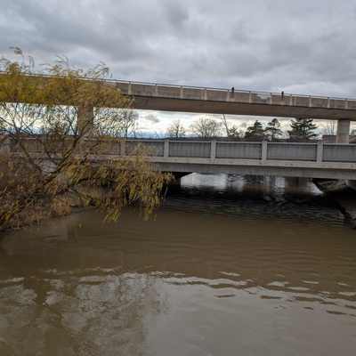
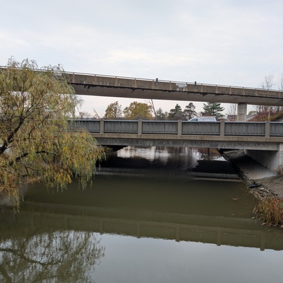
Black Creek footbridge from Shagbark Lane (Downstream)
Black Creek
Black Creek in Ontario
Dataset summary
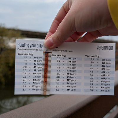
Black Creek footbridge from Shagbark Lane (Downstream) has data for previous_weather_description, chlorine, conductivity, water_temperature, air_temperature, current_weather_description, previous_weather, current_weather, Ice on, chloride, hardness, alkalinity, ph, water_level, water_flow, algae, clarity, on_the_water_s_surface, colour, odour, water_use, oxygen, and pollution_signs from 29 October 2024 to 27 February 2026.

- Water body type River or stream
- Dataset Lake Erie Rangers Monthly Monitoring, Lake Erie Rangers
- Data collector Robin Cupolo
- Land use
- Bank vegetation
- Location description
- A small, metal footbridge crossing over Black Creek. There is a turnaround spot nearby for parking. Water samples are collected with a throw-bucket. The footbridge is just downstream (<100 m) of the QEW and Townline road. Further upstream of the QEW, Beaver Creek merges with Black Creek. The water flows into the Niagara River.