Location
Belgum Grove
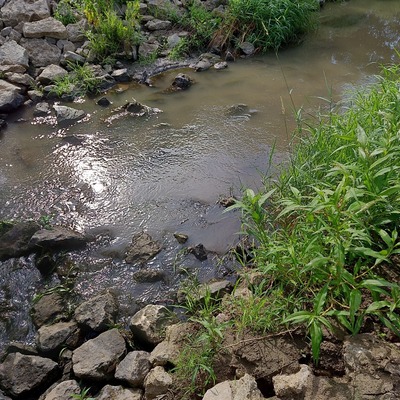
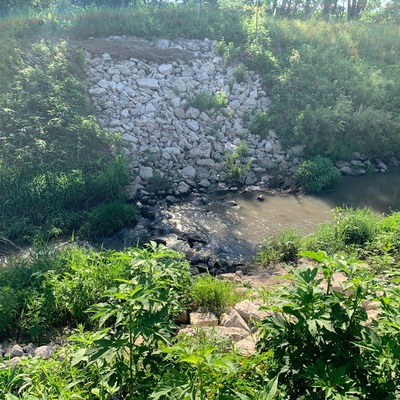
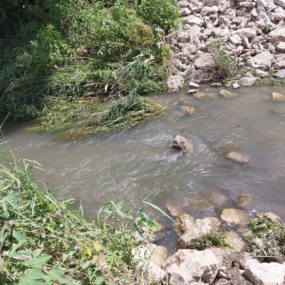
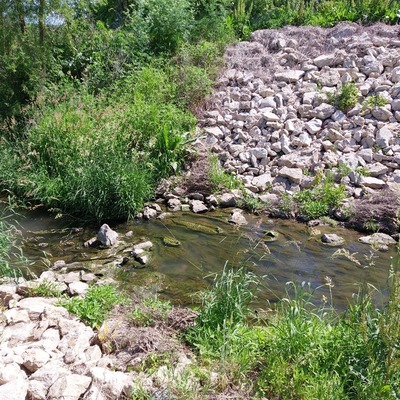
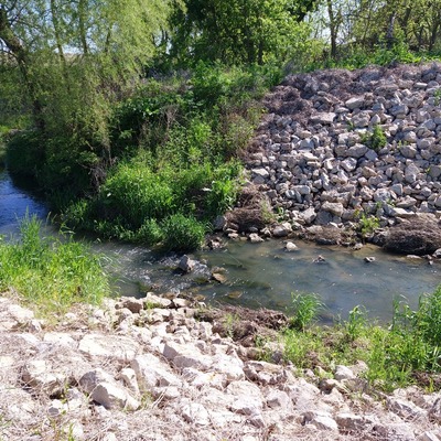
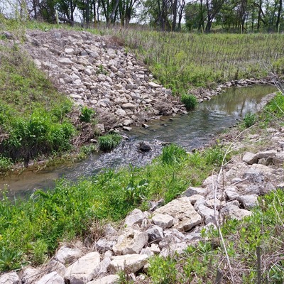
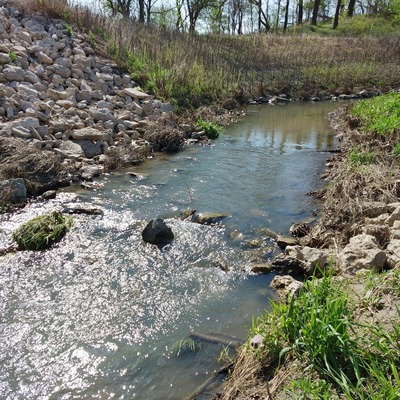
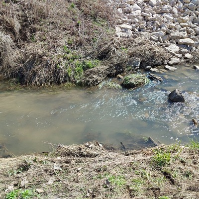
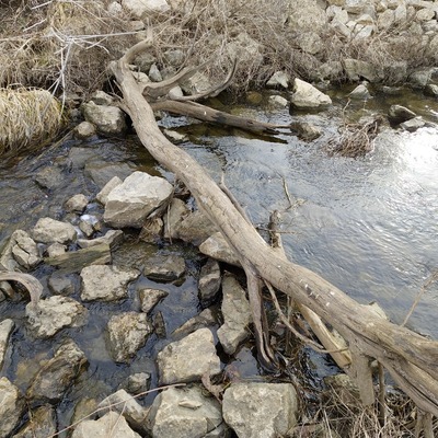
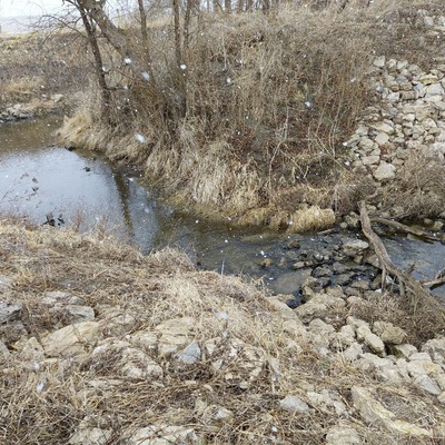
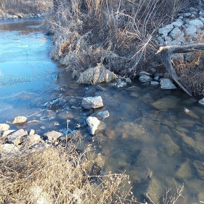
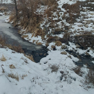
Dirty Face Creek #1 (E)
Dirty Face Creek #1 (E) in Iowa
Dataset summary
Belgum Grove has data for current_weather, ph, turbidity, oxygen, water_temperature, air_temperature, nitrates, conductivity, hardness, chlorine, alkalinity, on_the_water_s_surface, odour, recent_precipitation, previous_weather, previous_weather_description, and current_weather_description from 26 November 2025 to 22 July 2026.
About this location
- Water body type River or stream
- Dataset Bur Oak Water Quality, Bur Oak Land Trust
- Data collector Olivia G
- Land use Agriculture, Grassland shrub
- Bank vegetation Grass
- Location description Primary Land Use: prairie/pasture, with a small woodland patch on the NE end of the property. Dirty Face Creek enters through E side of the property, and flows westward. A small pond is present on the SW corner of the unit, with a small connection point on its N side via a culvert. Cropland is the primary land usage immediately surrounding property, with prairie/pasture extending to the S of the unit. Isolated housing units present within .25 radius of property. Topography suggested potential direct influence from the S portions surrounding the property. |||Parcel & Surrounding Land Use Composition: 1% Open Water/ 6% Developed/ 2% Forest/ 27% Pasture & Hay/ 64% Cultivated Crops/ .3% Wetlands
Data sharing
-
All datasets are open by default.
Download location data
This data is part of a bigger dataset, Bur Oak Water Quality.