Location
Baille Ard Trail, second loop
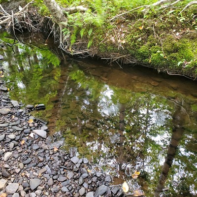
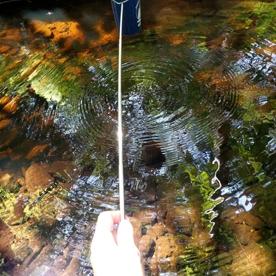
Wash Brook tributary
Wash Brook tributary in Nova Scotia
Dataset summary
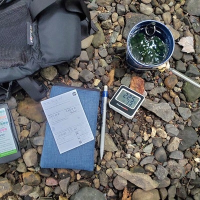
Baille Ard Trail, second loop has data for ph, chlorine, hardness, alkalinity, water_depth, air_temperature, water_temperature, current_weather, previous_weather, previous_weather_description, and current_weather_description from 28 July 2024 to 28 December 2024.

About this location
- Water body type River or stream
- Dataset Citizen Science Water Monitoring in Unama'ki-Cape Breton, ACAP Cape Breton
- Data collector Maggie Black
- Location description This area is beside the trail, about 100m downstream from the tree nursery frames and berm. Water is moving and the level here ranges from 1' to 2' deep, depending on precipitation.
Data sharing
-
All datasets are open by default.
Download location data
This data is part of a bigger dataset, Citizen Science Water Monitoring in Unama'ki-Cape Breton.