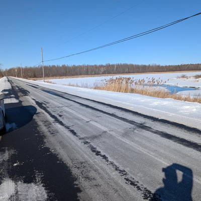
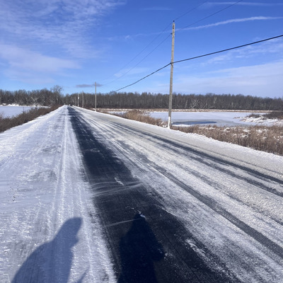
Location
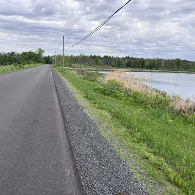
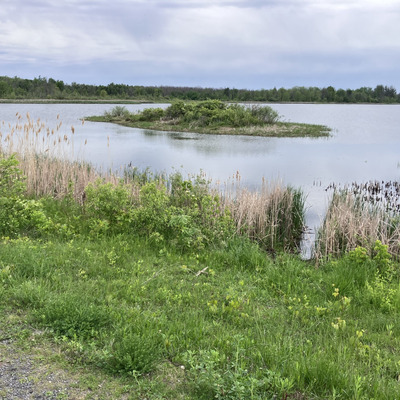
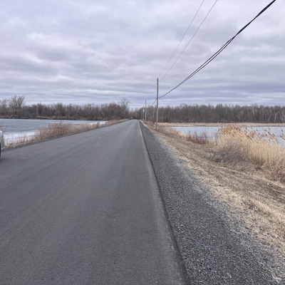
Ault Island Road
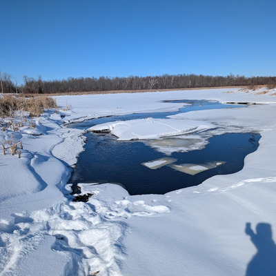
St. Lawrence River
St. Lawrence River in Ontario
Dataset summary
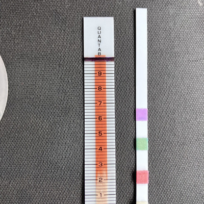
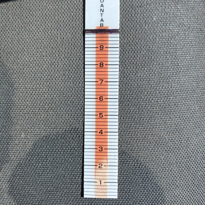
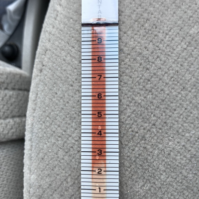
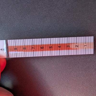
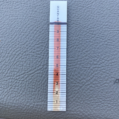
Ault Island Road has data for chlorine, conductivity, water_temperature, air_temperature, Ice on, water_level, aquatic_vegetation, previous_weather, algae, current_weather_description, previous_weather_description, current_weather, chloride, hardness, alkalinity, and ph from 12 December 2025 to 31 May 2026.
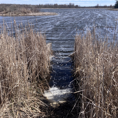
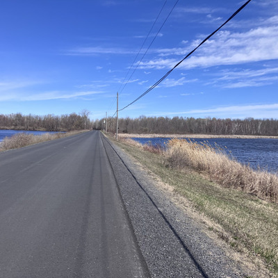
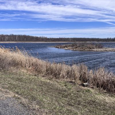
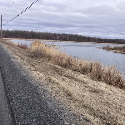


About this location
- Water body type River or stream
- Dataset Upper St. Lawrence River Volunteer Monitoring, River Institute
- Land use Other
- Bank vegetation Grass
Data sharing
-
All datasets are open by default.
Download location data
This data is part of a bigger dataset, Upper St. Lawrence River Volunteer Monitoring.