Location
Arthur's Rein Easterly Road
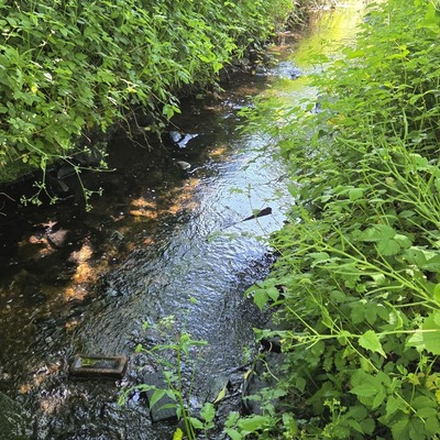
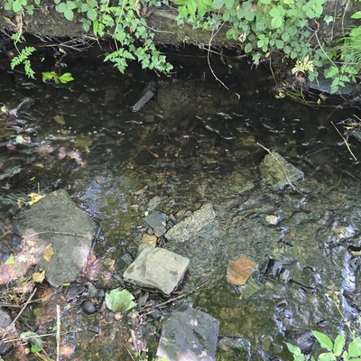
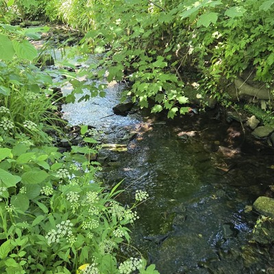
Wyke Beck
Wyke Beck in England
Dataset summary
Arthur's Rein Easterly Road has data for current_weather, current_weather_description, previous_weather, previous_weather_description, ammonia, phosphates, ph, chlorine, hardness, alkalinity, conductivity, air_temperature, and water_temperature from 2 June 2026 to 2 June 2026.

About this location
- Water body type River or stream
- Dataset Friends of Wyke Beck, Friends of Wyke Beck
- Data collector Paul Doney
- Land use Urban park
- Bank vegetation Trees and shrubs, Grass
- Location description Close to the top of Arthur's Rein just downstream from the point the beck emerges from a culvert under the Easterly Road. Right Hand bank is close to a footpath. Bank is largely grass and wildflower. Left Hand bank is bordered by trees, scrub and grass and largely blocked to public access.
Data sharing
-
All datasets are open by default.
Download location data
This data is part of a bigger dataset, Friends of Wyke Beck.