Location
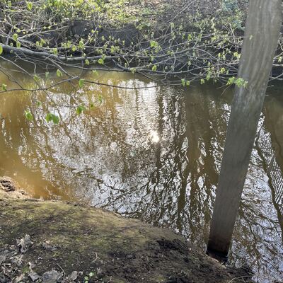
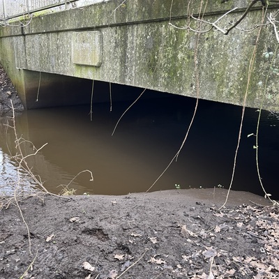
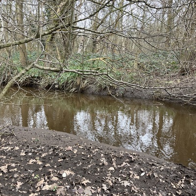
Addlestone Bourne (West End to Hale/Mill Bourne confluence at Mimbridge)
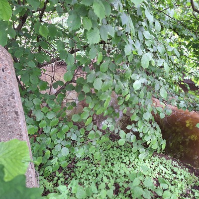
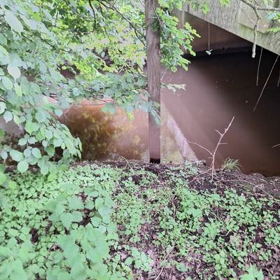
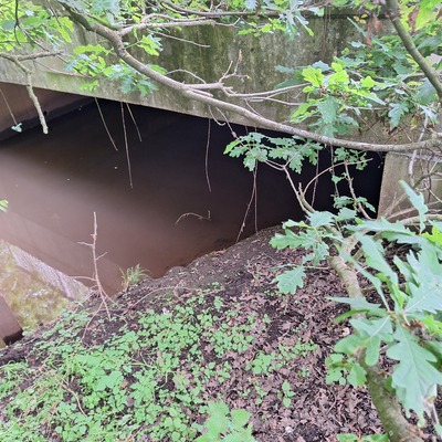
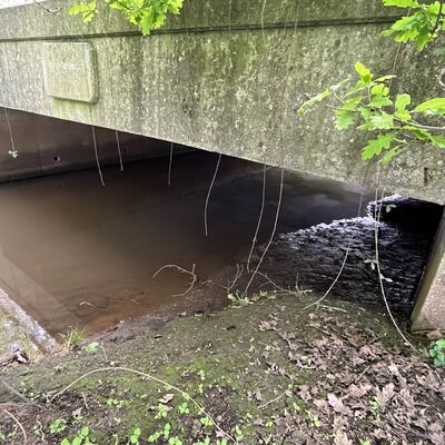
Bourne ( South ) At Mimbridge, Chobham
Bourne ( South ) At Mimbridge, Chobham in Surrey
Dataset summary
Addlestone Bourne (West End to Hale/Mill Bourne confluence at Mimbridge) has data for phosphate_phosphorus, previous_weather_description, ph, chlorine, hardness, nitrate_nitrogen, alkalinity, conductivity, air_temperature, water_temperature, algae, odour, clarity, pollution_sources, water_flow, water_level, colour, on_the_water_s_surface, current_weather, current_weather_description, and previous_weather from 23 February 2025 to 24 May 2025.
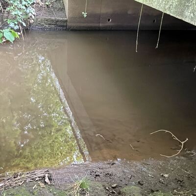
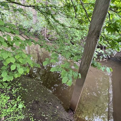
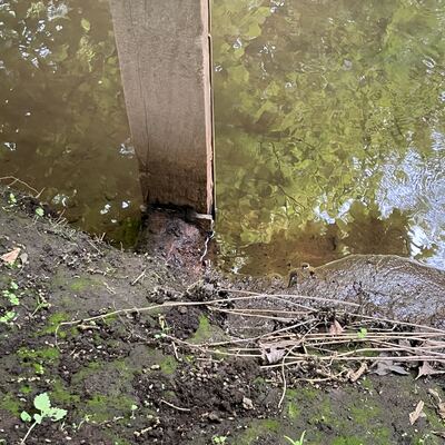

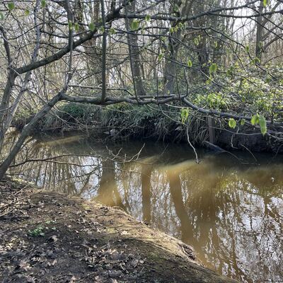
- Water body type River or stream
- Dataset WEAct Hub, River Wey Trust
- Data collector Charlie Hill
Data sharing
-
All datasets are open by default.
Download location data
This data is part of a bigger dataset, WEAct Hub.
- Location description
- Woking