Location
1792 ON-638 dock
Thessalon River
Thessalon River in Ontario
Dataset summary
1792 ON-638 dock has data for current_weather, current_weather_description, previous_weather, previous_weather_description, Ice on, secchi_depth, water_depth, ph, chlorine, hardness, alkalinity, conductivity, air_temperature, and water_temperature from 1 June 2026 to 1 June 2026.
About this location
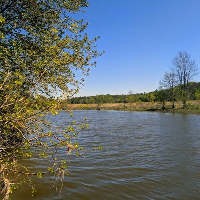
- Water body type River or stream
- Dataset Central Algoma Water Quality Monitoring, Central Algoma Land Trust
- Land use Agriculture, Other
- Bank vegetation Trees and shrubs, Grass
- Location description At camp from dock. Narrow portion of the river between two bends. Approximately 0.25 kms below the Rydal Bank Dam. A mix of rural homes, agricultural crops and cattle and natural vegatation on the shores bracketing the site location.

Data sharing
-
All datasets are open by default.
Download location data
This data is part of a bigger dataset, Central Algoma Water Quality Monitoring.