
This dataset is inactive (last observation on 14 March 2025).
Dataset
Friends of the Napanee (Ontario, Canada)
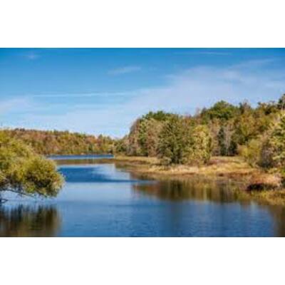
Dataset by Friends of the Napanee (Ontario, Canada)
Dataset summary
Recent photos
-
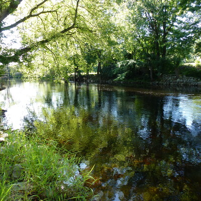
Hamlet of Camden East, Ontario, 1 September 2017 -
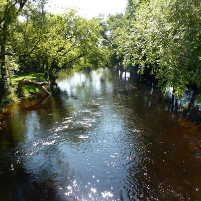
Hamlet of Camden East, Ontario, 1 September 2017 -
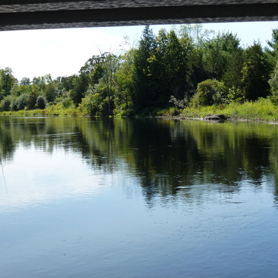
Halfway between Yarker and Camden East, Ontario, 1 September 2017 -
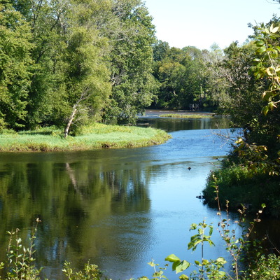
Halfway between Yarker and Camden East, Ontario, 1 September 2017 -
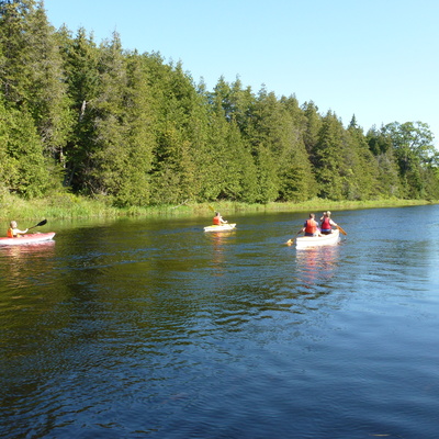
O'Keeffe property (3861 County Rd 1E, RR2, Yarker), 1 September 2017 -
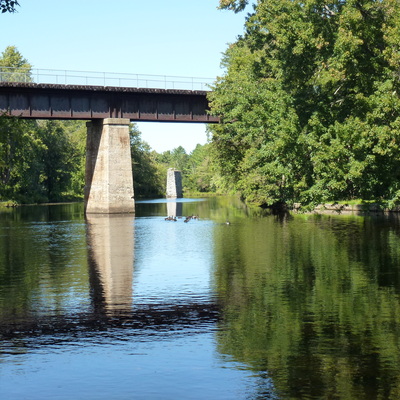
Yarker, Ontario, 1 September 2017 -
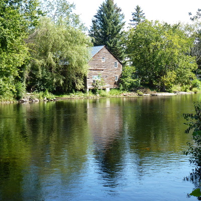
Yarker, Ontario, 1 September 2017 -
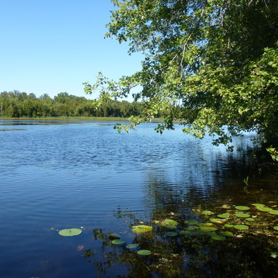
NE of Colebrook, Ontario, 1 September 2017 -
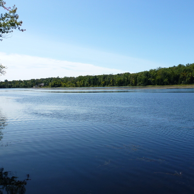
NE of Colebrook, Ontario, 1 September 2017 -
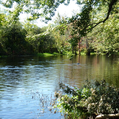
NE of Petworth, Ontario at the end of EW section of Petworth Road, 1 September 2017 -
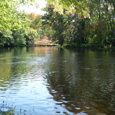
NE of Petworth, Ontario at the end of EW section of Petworth Road, 1 September 2017 -
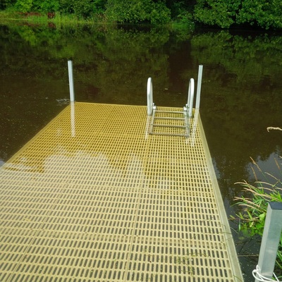
O'Keeffe property (3861 County Rd 1E, RR2, Yarker), 3 August 2017 -
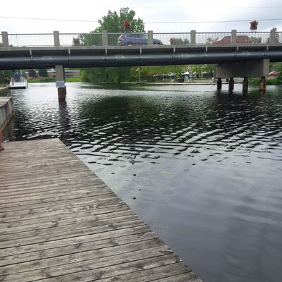
Downtown Napanee at the Centre Street Bridge, 12 July 2017 -
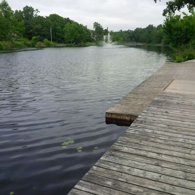
Downtown Napanee at the Centre Street Bridge, 12 July 2017 -
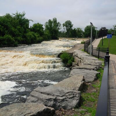
Downtown Napanee at the Centre Street Bridge, 12 July 2017 -
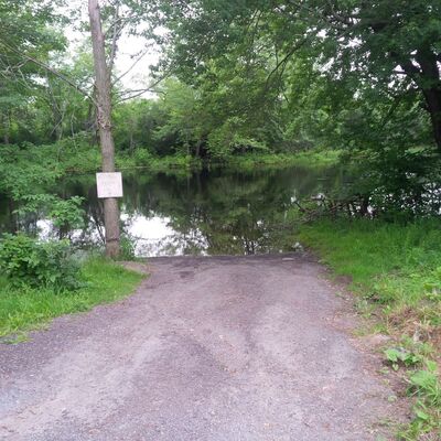
NE of Petworth, Ontario at the end of EW section of Petworth Road, 12 July 2017 -

NE of Petworth, Ontario at the end of EW section of Petworth Road, 12 July 2017 -
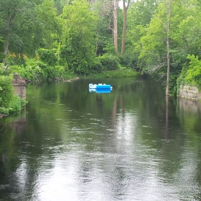
Minks Bridge, NE of town of Napanee, 12 July 2017 -
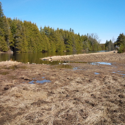
O'Keeffe property (3861 County Rd 1E, RR2, Yarker), 24 March 2017 -
.jpg)
O'Keeffe property (3861 County Rd 1E, RR2, Yarker), 24 March 2017
Monitoring program details
- Water quality criteria
- Canada
Data sharing
- All datasets are open by default. Download dataset
- This dataset is shared with DataStream
Latest contribution to the dataset
 Lawrence O'Keeffe
on 14 March at O'Keeffe property (3861 County Rd 1E, RR2, Yarker)
Lawrence O'Keeffe
on 14 March at O'Keeffe property (3861 County Rd 1E, RR2, Yarker)